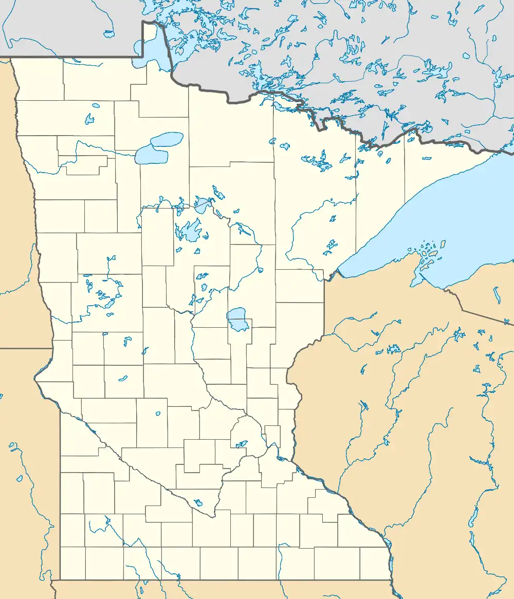
Baker | |
|---|---|
 Baker  Baker | |
| Coordinates: 46°42′38″N 96°33′29″W / 46.71056°N 96.55806°W | |
| Country | United States |
| State | Minnesota |
| County | Clay |
| Area | |
| • Total | 1.01 sq mi (2.61 km2) |
| • Land | 1.01 sq mi (2.61 km2) |
| • Water | 0.00 sq mi (0.00 km2) |
| Elevation | 935 ft (285 m) |
| Population (2020) | |
| • Total | 45 |
| • Density | 44.60/sq mi (17.22/km2) |
| Time zone | UTC-6 (Central (CST)) |
| • Summer (DST) | UTC-5 (CDT) |
| Area code | 218 |
| GNIS feature ID | 2583772[2] |
Baker is an unincorporated community and census-designated place in Clay County, Minnesota, United States. It lies roughly halfway between the cities of Sabin and Barnesville. As of the 2020 census, its population was 45.[3]
History
Baker, a railway village was named for Lester H. Baker,[4] a farmer who moved on to the state of Washington. The village was first settled in 1879, and the Great Northern Railway came in 1880. The first building was built in 1883 by John Erikson to store grain. The railroad in 1903 requested that the post office name be changed from Navan to Baker, to honor Lester Baker.
Demographics
| Census | Pop. | Note | %± |
|---|---|---|---|
| 2020 | 45 | — | |
| U.S. Decennial Census[5] | |||
References
- ↑ "2020 U.S. Gazetteer Files". United States Census Bureau. Retrieved July 24, 2022.
- 1 2 U.S. Geological Survey Geographic Names Information System: Baker, Minnesota
- ↑ "2020 Census Redistricting Data (Public Law 94-171) Summary File". American FactFinder. United States Census Bureau. Retrieved April 21, 2022.
- ↑ Upham, Warren (1920). Minnesota Geographic Names: Their Origin and Historic Significance. Minnesota Historical Society. p. 115.
- ↑ "Census of Population and Housing". Census.gov. Retrieved June 4, 2016.
This article is issued from Wikipedia. The text is licensed under Creative Commons - Attribution - Sharealike. Additional terms may apply for the media files.
