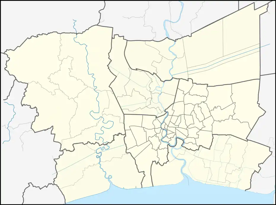
Bang Khu Wat
บางคูวัด | |
|---|---|
| Bang Khu Wat | |
 Bang Khu Wat Location in Bangkok Metropolitan Region | |
| Coordinates: 13°57′27.4″N 100°29′24.9″E / 13.957611°N 100.490250°E | |
| Country | Thailand |
| Province | Pathum Thani |
| District | Mueang Pathum Thani |
| Government | |
| • Type | Town Municipality |
| • Mayor | Veera Klamsanong |
| Area | |
| • Total | 20.47 km2 (7.90 sq mi) |
| Population (2020)[1] | 29,138 |
| • Density | 1,423.45/km2 (3,686.7/sq mi) |
| Time zone | UTC+7 (ICT) |
| Postcode | 12000 |
| Area code | (+66) 02 |
| Geocode | 130107 |
| www | |
Bang Khu Wat (Thai: บางคูวัด, pronounced [bāːŋ kʰūː wát]) is a tambon (subdistrict) of Mueang Pathum Thani district, Pathum Thani province, central Thailand.
History
In the past, Bang Khu Wat was an area very famous for Thai sugar cane, a delicacy regional sweets.
There is a rhyming saying of the hawker when selling goods that:
อ้อยจีนบางใหญ่ อ้อยไทยบางคูวัด ข้าวหลามตัดวัดระฆัง ขนมฝรั่งกุฎีจีน แม่เอ๊ย[2]
(literally: Chinese sugar cane of Bang Yai, Thai sugar cane of Bang Khu Wat, Khao lam tat of Wat Rakhang, Khanom farang kudi chin, Oh thou).
Geography
Bang Khu Wat has the southeastern part adjacent to the Chao Phraya River, the opposite side is Pak Kret district, Nonthaburi province. It is about 9 km (5.6 mi) from downtown Pathum Thani.
It is bounded by other administrative areas (from north clockwise): Bang Duea and Bang Khayaeng Subdistrict Municipalities in its district, Pak Kret City Municipality, Bang Tanai and Khlong Khoi Subdistrict Administrative Organizations in Pak Kret District of Nonthaburi Province, with Khlong Phra Udom Subdistrict Municipality in Lat Lum Kaeo district.
Administration
Central administration
The entire area is under the administration of Bang Khu Wat Town Municipality (เทศบาลเมืองบางคูวัด).
Local administration
Bang Khu Wat also consists of 12 administrative mubans (villages)
| No. | Name | Thai |
|---|---|---|
| 1. | Ban Plai Bua | บ้านปลายบัว |
| 2. | Ban Khlong Pho | บ้านคลองโพธิ์ |
| 3. | Ban Khung Wat | บ้านคุ้งวัด |
| 4. | Ban Khlong Bang Khu Wat | บ้านคลองบางคูวัด |
| 5. | Ban Ko Kriang | บ้านเกาะเกรียง |
| 6. | Ban Bang Tanai | บ้านบางตะไนย์ |
| 7. | Ban San Chao | บ้านศาลเจ้า |
| 8. | Ban Phai Lom | บ้านไผ่ล้อม |
| 9. | Ban Tin Len | บ้านตีนเลน |
| 10. | Ban Bang Nang Bun | บ้านบางนางบุญ |
| 11. | Ban Fang Klang | บ้านฝั่งกลาง |
| 12. | Ban Phra Oi | บ้านพระโอย |
References
- ↑ "รายงานสถิติจำนวนประชากรและบ้าน ประจำปี พ.ศ. 2563 อำเภอเมืองปทุมธานี". ระบบสถิติทางการทะเบียน กรมการปกครอง (in Thai). Retrieved 2022-07-05.
- ↑ Pralongchoeng, Gilen (2021-10-15). "ผลไม้เมืองธนบุรี" [Fruits of Thonburi]. Thairath (in Thai). Retrieved 2022-07-05.