| Barlow River | |
|---|---|
Route of the Barlow River | |
 Mouth of the Barlow River  Barlow River (New Zealand) (South Island) | |
| Location | |
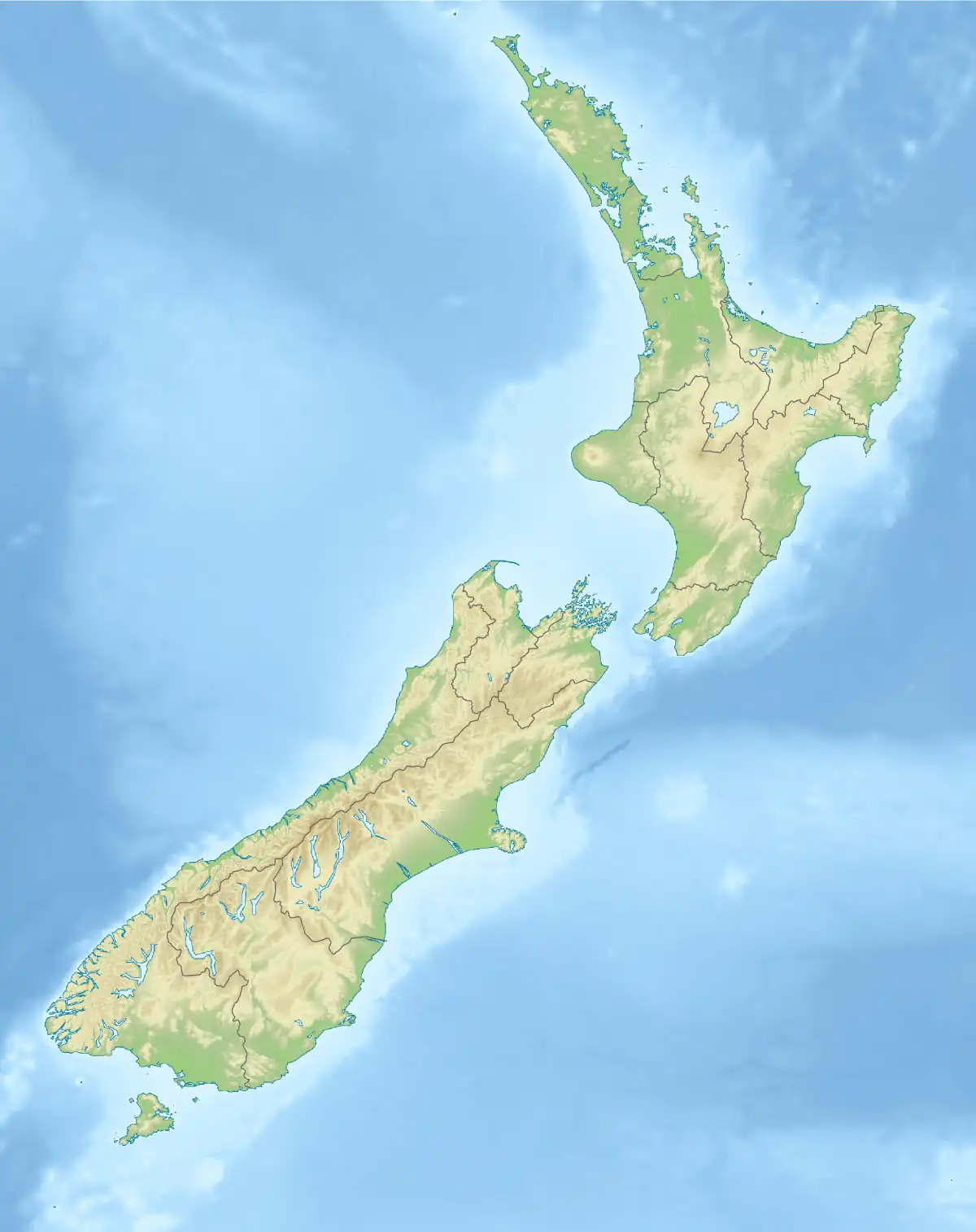
| Country | New Zealand |
| region | West Coast Region |
| District | Westland District |
| Physical characteristics | |
| Source | Barlow Glacier |
| • location | Southern Alps / Kā Tiritiri o te Moana |
| • coordinates | 43°18′24″S 170°37′30″E / 43.30667°S 170.62500°E |
| • elevation | 1,400 m (4,600 ft) |
| Mouth | Perth River |
• coordinates | 43°20′51″S 170°31′15″E / 43.34750°S 170.52083°E |
• elevation | 215 m (705 ft) |
| Length | 13.8 kilometres (8.6 mi) |
| Basin features | |
| Progression | Barlow Glacier → Barlow River → Perth River → Whataroa River |
| River system | Whataroa River |
| Tributaries | |
| • right | North Barlow River |
The Barlow River is a river in the Westland district of the South Island of New Zealand. It is a tributary of the Perth River. The Barlow River is fed by the Barlow and Farrar Glacier. Its tributary North Barlow River is fed by the Escape and Siege Glacier. A smaller stream called Barlow Creek lies 1 kilometre (0.6 mi) west of the Barlow River.[1]
See also
Weblink
- Land Information New Zealand - Search for Place Names
References
- ↑ "Topographic map". NZTopoMap. Retrieved 1 September 2022.
This article is issued from Wikipedia. The text is licensed under Creative Commons - Attribution - Sharealike. Additional terms may apply for the media files.