| Bear Garden Mountain | |
|---|---|
 Bear Garden Mountain | |
| Highest point | |
| Elevation | 1,566 ft (477 m)[1] |
| Listing | |
| Coordinates | 39°19′53″N 78°23′42″W / 39.3314889°N 78.3950073°W[2] |
| Geography | |
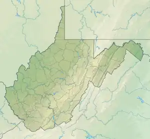
| Location | Frederick County, Virginia / Hampshire County, West Virginia, U.S. |
| Parent range | Ridge-and-Valley Appalachians |
| Topo map | USGS Capon Bridge |
| Climbing | |
| Easiest route | Hike, Drive |
Bear Garden Mountain is a forested mountain ridge of the Ridge-and-valley Appalachians in Hampshire County, West Virginia and Frederick County, Virginia.
Geography
Bear Garden Mountain runs southwest–northeast from its northern terminus at Bear Garden run in northern Frederick County to its southern terminus at Mill Branch creek in Hampshire County, near Capon Bridge. A 2.5-mile (4.0 km) stretch of the ridge, starting 3 miles (4.8 km) south of its northern terminus, serves as the Virginia-West Virginia border.
The mountain is bisected by the Northwestern Turnpike (U.S. Route 50) to the east of Capon Bridge and by the Bloomery Pike (West Virginia Route 127/State Route 127) at Good.
References
- ↑ "Bear Garden Mountain". ListsOfJohn.com. Retrieved 2012-12-19.
- ↑ "Bear Garden Mountain". Geographic Names Information System. United States Geological Survey, United States Department of the Interior. Retrieved 2009-01-24.
This article is issued from Wikipedia. The text is licensed under Creative Commons - Attribution - Sharealike. Additional terms may apply for the media files.