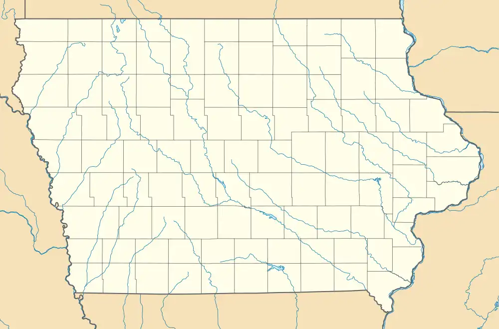
Bennettsville, Iowa | |
|---|---|
 Bennettsville, Iowa | |
| Coordinates: 42°21′36″N 90°43′41″W / 42.36000°N 90.72806°W | |
| Country | United States |
| State | Iowa |
| County | Dubuque County |
| Time zone | UTC-6 (Central (CST)) |
| • Summer (DST) | UTC-5 (CDT) |
| Area code | 712 |
| GNIS feature ID | 464164[1] |
Bennettsville (also known as Bennettville) was an unincorporated community in Dubuque County, in the U.S. state of Iowa.
Geography
Bennettsville was located at 42°21′36″N 90°43′41″W / 42.36000°N 90.72806°W,[1] at the junction of Bennettville Road and St. Joes Prairie Road.
History
Bennettsville was founded in Section 9 of Washington Township, Dubuque County.[2] The name of the community has also been spelled Bennettville.[3]
The post office was established in June 1891. James J. Cota served as postmaster.[4] The Bennettsville post office also served as the store.[5] Circa 1901, Bennettville had a school.[6]
The community's population was 8 in 1890.[7] Bennettsville's post office was discontinued in either 1897[2] or 1900.[8]
See also
References
- 1 2 "Geographic Names Information System". edits.nationalmap.gov. Retrieved October 4, 2022.
- 1 2 Howe, Samuel Storrs; Parvin, Theodore Sutton; Lloyd, Frederick; Huff, Sanford W.; Aldrich, Charles; Harlan, Edgar Rubey (1850). Annals of Iowa. Iowa State Historical Department, Division of Historical Museum and Archives. p. 520.
- ↑ Oldt, Franklin T. (1911). History of Dubuque County, Iowa: Being a General Survey of Dubuque County History, Including a History of the City of Dubuque and Special Account of Districts Throughout the County, from the Earliest Settlement to the Present Time. Goodspeed Historical Association. p. 670.
- ↑ "Iowa Postmasters". Burlington Hawk Eye. June 10, 1891. p. 1. Retrieved November 26, 2022.
- ↑ "Bennetsville Burglars". Dubuque Daily Herald. 1888. p. 4. Retrieved November 7, 2022.
- ↑ "Table Mound". Dubuque Daily Times. March 7, 1901. p. 8. Retrieved November 26, 2022.
- ↑ Cram, George Franklin (1887). Cram's Universal Atlas: Geographical, Astronomical and Historical, Containing a Complete Series of Maps of Modern Geography, Illustrated by Numerous Views and Charts; the Whole Supplemented with Valuable Statistics, Diagrams, and a Complete Gazetteer of the United States. G.F. Cram. p. 368.
- ↑ "Post Offices". www.postalhistory.com. Retrieved November 7, 2022.
This article is issued from Wikipedia. The text is licensed under Creative Commons - Attribution - Sharealike. Additional terms may apply for the media files.