Benoy
Беной Бена | |
|---|---|
Selo | |
.jpg.webp) Mosque in Benoy | |
 Benoy  Benoy | |
| Coordinates: 42°58′55″N 46°18′25″E / 42.98194°N 46.30694°E | |
| Country | Russia |
| Region | Chechnya |
| District | Nozhay-Yurtovsky District |
| Time zone | UTC+3:00 |
Benoy (Russian: Беной; Chechen: Бена, romanized: Bena) is a rural locality (a selo) and the administrative centre of Benoyskoye Rural Settlement in Nozhay-Yurtovsky District, in Chechnya, Russia. Population: 1,216 (2010 Census);[1] 2,389 (2002 Census).[2]
History
In 1944, during the Soviet era, the selo was renamed Ichichali as part of the forced deportation of the Chechen and Ingush populations, and was repopulated with people from neighboring Dagestan.[3]
However, in 1958, after the restoration of the Chechen-Ingush Autonomous Soviet Socialist Republic, the village was returned to its original name of Benoy and the Dagestani residents were resettled back to Dagestan.[4]
Geography
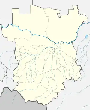
Benoy is located in the Chechen Republic, Russia. It is situated on the right bank of the Benoyassi River and is approximately 23 km southwest of the district center, Nozhai-Yurt and 90 km southeast of the city of Grozny. The village has neighboring settlements, including Gurzhi-Mokhk to the north, Dengi-Yurt to the northeast, Ozhi-Yurt to the east, Koren-Benoi to the south, Benoi-Vedeno to the southwest, and Pachu to the west. A notable landmark in the village is the Benoi Central Mosque.
Demography
| Year | Pop. | ±% |
|---|---|---|
| 1990 | 1,527 | — |
| 2002 | 2,389 | +56.5% |
| 2010 | 1,216 | −49.1% |
Notable residents
- Baysangur of Benoy (1794 – 1861), rebel commander
- Adam Delimkhanov (born 1969), politician
- Sulim Yamadayev (1973 – 2009), rebel and military commander
References
- ↑ Russian Federal State Statistics Service (2011). Всероссийская перепись населения 2010 года. Том 1 [2010 All-Russian Population Census, vol. 1]. Всероссийская перепись населения 2010 года [2010 All-Russia Population Census] (in Russian). Federal State Statistics Service.
- ↑ Russian Federal State Statistics Service (21 May 2004). Численность населения России, субъектов Российской Федерации в составе федеральных округов, районов, городских поселений, сельских населённых пунктов – районных центров и сельских населённых пунктов с населением 3 тысячи и более человек [Population of Russia, Its Federal Districts, Federal Subjects, Districts, Urban Localities, Rural Localities—Administrative Centers, and Rural Localities with Population of Over 3,000] (XLS). Всероссийская перепись населения 2002 года [All-Russia Population Census of 2002] (in Russian).
- ↑ Карта Дагестанской АССР, масштаб 1:400000. — М.: ГУГК, 1947.
- ↑ "Потери вооружённых сил России и СССР в вооружённых конфликтах на Северном Кавказе (1920—2000 годы)". demoscope.ru (in Russian).