Bentong ﺑﻨﺘﻮڠ | |
|---|---|
Town and district capital | |
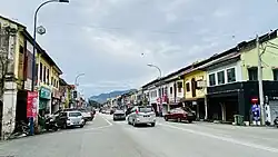
 Loke Yew Street | |
 Seal | |
 Bentong ﺑﻨﺘﻮڠ  Bentong ﺑﻨﺘﻮڠ | |
| Coordinates: 3°31′N 101°55′E / 3.517°N 101.917°E | |
| Country | Malaysia |
| State | Pahang |
| District | Bentong District |
| Municipality status | 16 July 2005 |
| Government | |
| • Type | Local government |
| • Body | Bentong Municipal Council |
| • President | Aida Munira Abdul Rafar |
| Area | |
| • Total | 1,105.19 km2 (426.72 sq mi) |
| Population (2010) | |
| • Total | 114,397 |
| • Density | 100/km2 (270/sq mi) |
| Postcode | 28xxx |
| Telephone area code | +6-09 |
| Vehicle registration | C |
| Website | www |
Bentong Municipal Council Majlis Perbandaran Bentong مجليس ڤربندرن بنتوڠ | |
|---|---|
 | |
| Type | |
| Type | |
| History | |
| Founded | 16 July 2005 |
| Preceded by | Bentong District Council |
| Leadership | |
President | Aida Munira Abdul Rafar |
Secretary | Noorul Nazreen Nordin |
| Motto | |
| Pembangunan, Kebersihan, Perpaduan (Development, Cleanliness, Unity) | |
| Meeting place | |
| Jalan Ketari, 28700 Bentong, Pahang Darul Makmur | |
| Website | |
| www | |
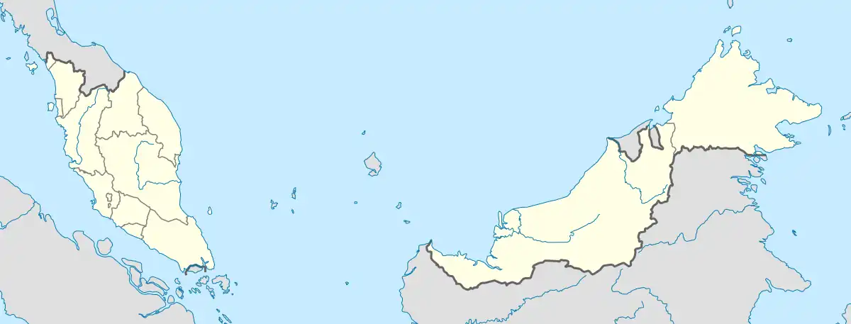
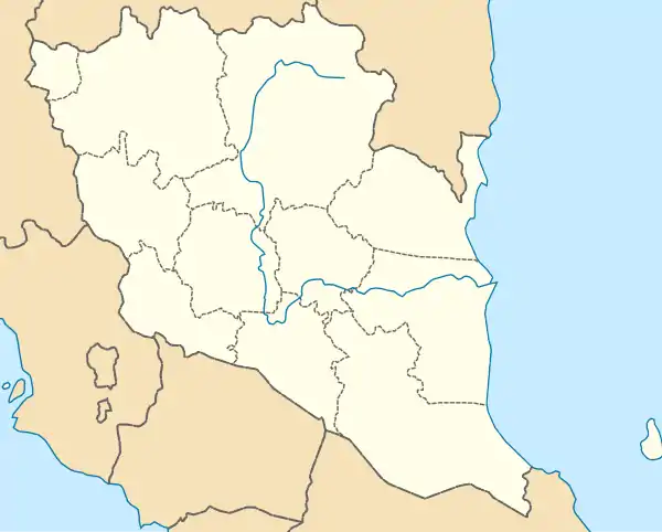
Bentong (Jawi: ﺑﻨﺘﻮڠ), the seat of Bentong District, is a town located in western Pahang, Malaysia, at the border with the state of Selangor in the west and the state of Negeri Sembilan in the south.[1]
Government
Bentong Municipal Council (Malay: Majlis Perbandaran Bentong) is the local authority for the whole of Bentong District including Bentong town. From 5 May 1955 until 30 June 1981, Bentong town was governed by the Bentong Town Council (Malay: Majlis Bandaran Bentong). On 1 July 1981, the Bentong Town Council was merged with 5 local councils of Karak, Sungai Dua, Telemong, Manchis and Bukit Tinggi and 8 village councils of Kampung Shafie, Kampung Simpang Pelangai, Sungai Gapoi New Village, Kampung Jambu Rias, Kampung Benus, Genting Sempah, Kampung Janda Baik and Sungai Penjuring New Village to form the Bentong District Council (Malay: Majlis Daerah Bentong).
The administrative area of Bentong District Council at the time of establishment was 106.18 square kilometres (41.00 sq mi), consisting 80.26 square kilometres (30.99 sq mi) operational area and 25.92 square kilometres (10.01 sq mi) control area. It was then increased to 1,105.19 square kilometres (426.72 sq mi) on 1 January 2001 consisting new operational area of 867.69 square kilometres (335.02 sq mi) and control area of 237.5 square kilometres (91.7 sq mi). Bentong District Council was upgraded to the present-day Municipal Council on 16 July 2005.[2][3]
Weather
Bentong average temperature is on 26.8 °C (80.2 °F) while 2,419 millimetres (95.2 in) rainfall every month.[4]
| Climate data for Bentong | |||||||||||||
|---|---|---|---|---|---|---|---|---|---|---|---|---|---|
| Month | Jan | Feb | Mar | Apr | May | Jun | Jul | Aug | Sep | Oct | Nov | Dec | Year |
| Daily mean °C (°F) | 26 (79) |
26.6 (79.9) |
27 (81) |
27.5 (81.5) |
27.4 (81.3) |
27.1 (80.8) |
26.7 (80.1) |
27.1 (80.8) |
26.8 (80.2) |
26.8 (80.2) |
26.7 (80.1) |
26.4 (79.5) |
26.8 (80.4) |
| Average precipitation mm (inches) | 185 (7.3) |
149 (5.9) |
179 (7.0) |
233 (9.2) |
226 (8.9) |
133 (5.2) |
133 (5.2) |
142 (5.6) |
188 (7.4) |
278 (10.9) |
315 (12.4) |
258 (10.2) |
2,419 (95.2) |
| Source: Climate-Data.org (altitude: 77m)[4] | |||||||||||||
References
- ↑ "Bentong declared as ecotourism destination | the Malaysian Insight".
- ↑ "Latar Belakang".
- ↑ "Background".
- 1 2 "Climate: Bentong - Climate graph, Temperature graph, Climate table". Climate-Data.org. Retrieved 2017-08-28.