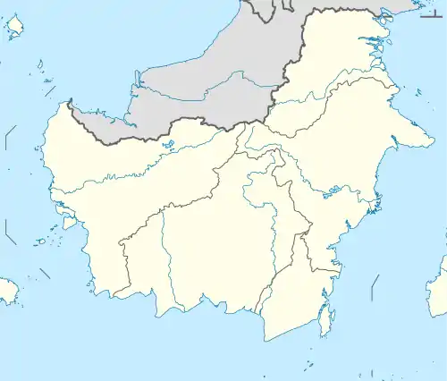
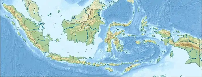
| Berau River | |
|---|---|
 Location of the river mouth  Berau River (Indonesia) | |
| Location | |
| Country | Indonesia |
| Province | East Kalimantan |
| Physical characteristics | |
| Source | |
| • location | Borneo |
| • elevation | 1,800 m (5,900 ft)[1] |
| Mouth | Celebes Sea |
• coordinates | 2°10′37″N 117°55′52″E / 2.177°N 117.931°E |
| Length | 300 km (190 mi) |
| Basin size | 14,000 km2 (5,400 sq mi)[1] |
| Discharge | |
| • location | Gunung Tabur, Kalimantan Timur |
| • average | (Period of data: 1998-2007)703 m3/s (24,800 cu ft/s) (Year: 2007)605 m3/s (21,400 cu ft/s)[1] |
| • minimum | 200 m3/s (7,100 cu ft/s)[1] |
| • maximum | 2,896 m3/s (102,300 cu ft/s)[1] |
| Basin features | |
| River system | Berau basin (DAS320058)[2] |
Berau River is a river of East Kalimantan, Indonesia, about 300 kilometers (190 miles) north of the provincial capital Samarinda.[3][4] Tributaries include the Kelai River.
Geography
The river flows in the eastern area of Kalimantan with a predominantly tropical rainforest climate (designated as Af in the Köppen-Geiger climate classification).[5] The annual average temperature in the area is 23 °C (73 °F). The warmest month is April, when the average temperature is around 24 °C (75 °F), and the coldest is January, at 22 °C (72 °F).[6] The average annual rainfall is 2,835 millimeters (111.6 inches). The wettest month is December, with an average of 332-millimeter (13.1 in) rainfall, and the driest is August, with 154-millimeter (6.1 in) rainfall.[7]
| Berau River | ||||||||||||||||||||||||||||||||||||||||||||||||||||||||||||
|---|---|---|---|---|---|---|---|---|---|---|---|---|---|---|---|---|---|---|---|---|---|---|---|---|---|---|---|---|---|---|---|---|---|---|---|---|---|---|---|---|---|---|---|---|---|---|---|---|---|---|---|---|---|---|---|---|---|---|---|---|
| Climate chart (explanation) | ||||||||||||||||||||||||||||||||||||||||||||||||||||||||||||
| ||||||||||||||||||||||||||||||||||||||||||||||||||||||||||||
| ||||||||||||||||||||||||||||||||||||||||||||||||||||||||||||
See also
References
- 1 2 3 4 5 Frans A., Buschman; A.J.F., Hoitink; Steven Michael, De Jong; P., Hoekstra; H., Hidayat; Maximiliano, Sassi (November 2012). "Suspended sediment load in the tidal zone of an Indonesian river".
- ↑ Hukum Online. "Keputusan Menteri Kehutanan No. SK.511/MENHUT-V/2011" (in Indonesian).
- ↑ Rand McNally, The New International Atlas, 1993.
- ↑ Sungai Berau at Geonames.org (cc-by); Last updated 2013-06-04; Database dump downloaded 2015-11-27
- ↑ Peel, M C; Finlayson, B L; McMahon, T A (2007). "Updated world map of the Köppen-Geiger climate classification". Hydrology and Earth System Sciences. 11: 1633–1644. doi:10.5194/hess-11-1633-2007. Retrieved 30 January 2016.
- 1 2 "NASA Earth Observations Data Set Index". NASA. 30 January 2016. Archived from the original on 11 May 2020. Retrieved 8 January 2019.
- ↑ "NASA Earth Observations: Rainfall (1 month - TRMM)". NASA/Tropical Rainfall Monitoring Mission. 30 January 2016. Archived from the original on 19 April 2019. Retrieved 8 January 2019.
This article is issued from Wikipedia. The text is licensed under Creative Commons - Attribution - Sharealike. Additional terms may apply for the media files.