Beri
Beri Bhajangarh | |
|---|---|
Village | |
 Beri Location in Rajasthan, India 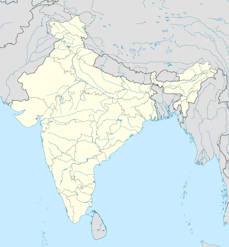 Beri Beri (India) | |
| Coordinates: 27°36′00″N 75°14′29″E / 27.60000°N 75.24139°E | |
| Country | |
| State | Rajasthan |
| District | Sikar |
| Government | |
| • Type | Elected directly |
| • Sarpanch | Akhiles Kumar |
| Area | |
| • Total | 36 km2 (14 sq mi) |
| Population (2001) | |
| • Total | 7,000 approx |
| Languages | |
| • Official | Hindi |
| Time zone | UTC+5:30 (IST) |
| PIN | 332031 |
| Telephone code | 91-1572 |
| Vehicle registration | RJ-23 |
Beri is a village in Piparali panchayat samiti and tehsil in the Sikar district, Rajasthan state, India. It is located at a distance of 21 km north of Sikar. Beri is also known as Beri Bajangarh, due to an old fort called Bhajangarh, and is located along the border of the Sikar and Jhunjhunu districts.[1][2]
References
- ↑ "Watch Beri, Rajasthan Video". OV Guide.Com. Archived from the original on 2 February 2015. Retrieved 29 August 2013.
- ↑ "Where is Beri in Rajasthan, India Located?". Go Mapper.Com. Retrieved 29 August 2013.
This article is issued from Wikipedia. The text is licensed under Creative Commons - Attribution - Sharealike. Additional terms may apply for the media files.