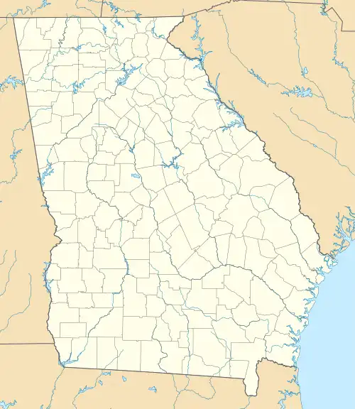
Berzelia, Georgia | |
|---|---|
 Berzelia  Berzelia | |
| Coordinates: 33°24′24″N 82°15′5″W / 33.40667°N 82.25139°W | |
| Country | United States |
| State | Georgia |
| County | Columbia |
| Elevation | 495 ft (151 m) |
| Time zone | UTC-5 (Eastern (EST)) |
| • Summer (DST) | UTC-4 (EDT) |
| Area code(s) | 706 & 762 |
| GNIS ID | 331141[1] |
Berzelia is an unincorporated community in Columbia County in the U.S. state of Georgia.[1] It is located on U.S. Route 78, 18 miles (29 km) west-southwest of Downtown Augusta and 3.8 miles (6.1 km) east of Harlem.
History
A post office called Berzelia was established in 1835 and remained in operation until 1933.[2] In 1900, the community had 84 inhabitants.[3]
References
- 1 2 "Berzelia". Geographic Names Information System. United States Geological Survey, United States Department of the Interior.
- ↑ "Columbia County". Jim Forte Postal History. Retrieved September 11, 2017.
- ↑ Candler, Allen Daniel; Evans, Clement Anselm (1906). Georgia: Comprising Sketches of Counties, Towns, Events, Institutions, and Persons. State historical association. p. 180.
This article is issued from Wikipedia. The text is licensed under Creative Commons - Attribution - Sharealike. Additional terms may apply for the media files.
