Bey Baghli
بيگ باغلو | |
|---|---|
village | |
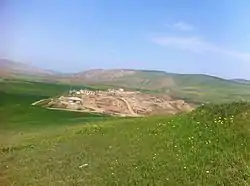
 Beybagli Panorama | |
 Bey Baghli | |
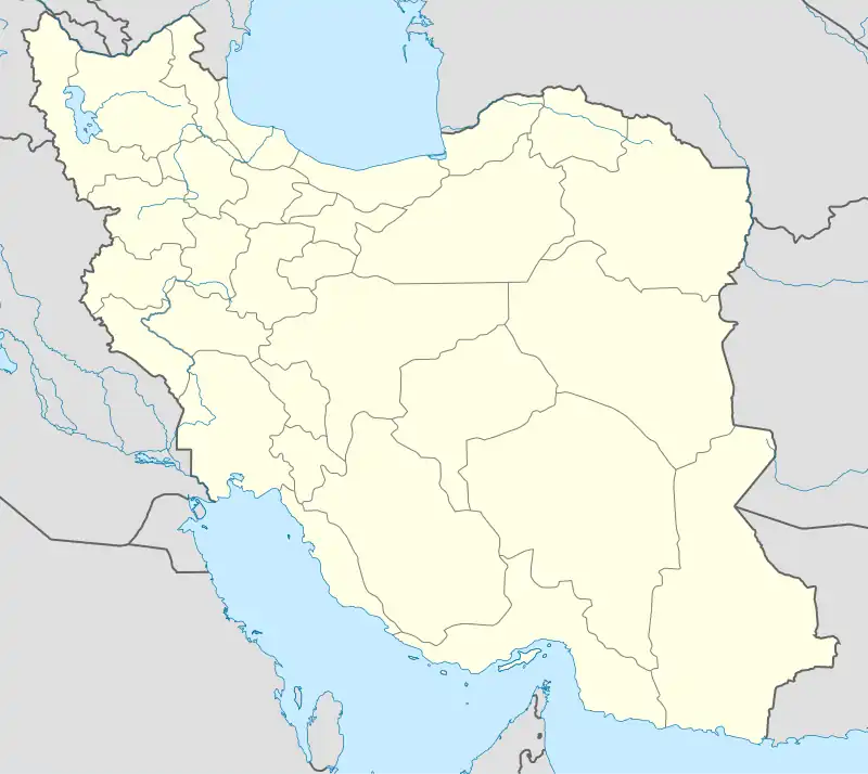
| Coordinates: 39°15′11″N 48°07′42″E / 39.25306°N 48.12833°E | |
| Country | |
| Province | Ardabil |
| County | Bileh Savar |
| Bakhsh | Central |
| Rural District | Gowg Tappeh |
| Population (2006) | |
| • Total | 19 |
| Time zone | UTC+3:30 (IRST) |
| • Summer (DST) | UTC+4:30 (IRDT) |
| Website | www.beybagli.blogspot.com |
Beybaghli (Persian: بيگ باغلو, also Romanized as Beybağlı)[1] is a village in Gowg Tappeh Rural District, in the Central District of Bileh Savar County, Ardabil Province, Iran. The village is located between two cities of Germi and Bilasuvar north of Ardabil, on the Iranian Azerbaijan and the Republic of Azerbaijan border. Beybagli is home to Beybagli tribe, one of the 32 tribes of the Turkish Shahseven tribal confederacy of Mughan. The people of this village are engaged in traditional farming and herding practices. Wheat, barley, lentils, and peas are grown. The village's dairy products are milk, cheese, butter, cream and yoghurt. At the 2006 census, its population was 19, in 7 families.[2]
References
- ↑ Beyg Baghlu can be found at GEOnet Names Server, at this link, by opening the Advanced Search box, entering "-3769800" in the "Unique Feature Id" form, and clicking on "Search Database".
- ↑ "Census of the Islamic Republic of Iran, 1385 (2006)" (Excel). Statistical Center of Iran. Archived from the original on 2011-09-20.
This article is issued from Wikipedia. The text is licensed under Creative Commons - Attribution - Sharealike. Additional terms may apply for the media files.