Bihpuria
As par postal record Bihupuria S.O PIN code 784161 | |
|---|---|
town | |
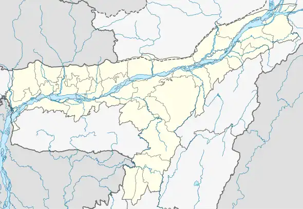 Bihpuria Location in Assam, India 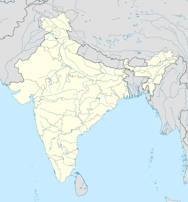 Bihpuria Bihpuria (India) | |
| Coordinates: 27°02′N 93°54′E / 27.03°N 93.90°E | |
| Country | |
| State | Assam |
| District | Lakhimpur |
| Government | |
| • Body | Bihpuria Municipality Board |
| Area | |
| • Total | 45 km2 (17 sq mi) |
| Elevation | 102 m (335 ft) |
| Population (2011) | |
| • Total | 15,307 |
| • Density | 340/km2 (880/sq mi) |
| Languages | |
| • Official | Assamese |
| Time zone | UTC+5:30 (IST) |
| ISO 3166 code | IN-AS |
| Vehicle registration | AS 07 |
Bihpuria (IPA: ˈbɪəˌpʊərɪə) is a small town in Lakhimpur district in the state of Assam, India. Bihpuria is located at 27°02′N 93°54′E / 27.03°N 93.90°E.[1]
Demographics
As of 2001 India census,[2] Bihpuria had a population of 10,867. Males constitute 53% of the population and females 47%. Bihpuria has an average literacy rate of 77%, higher than the national average of 59.5%; with male literacy of 82% and female literacy of 73%. 11% of the population is under 6 years of age.
Politics
Bihpuria is part of Tezpur (Lok Sabha constituency).[3] Dr. Amiya Kumar Bhuyan is the current MLA of the Bihpuria Constituency.[4]
See also
References
- ↑ Falling Rain Genomics, Inc - Bihpuria
- ↑ "Census of India 2001: Data from the 2001 Census, including cities, villages and towns (Provisional)". Census Commission of India. Archived from the original on 16 June 2004. Retrieved 1 November 2008.
- ↑ "List of Parliamentary & Assembly Constituencies" (PDF). Assam. Election Commission of India. Archived from the original (PDF) on 4 May 2006. Retrieved 6 October 2008.
- ↑ "MEMBER OF LEGISLATIVE ASSEMBLY(M.L.A.), ASSAM". Assam.
This article is issued from Wikipedia. The text is licensed under Creative Commons - Attribution - Sharealike. Additional terms may apply for the media files.