Birchip | ||||||||||||||||
|---|---|---|---|---|---|---|---|---|---|---|---|---|---|---|---|---|
 Southbound view of the station in June 2023 | ||||||||||||||||
| General information | ||||||||||||||||
| Coordinates | 35°58′58.23″S 142°55′14.96″E / 35.9828417°S 142.9208222°E | |||||||||||||||
| Line(s) | Mildura | |||||||||||||||
| Platforms | 1 | |||||||||||||||
| Tracks | 1 | |||||||||||||||
| Other information | ||||||||||||||||
| Status | Closed | |||||||||||||||
| History | ||||||||||||||||
| Opened | 1893 | |||||||||||||||
| Closed | 12 September 1993 | |||||||||||||||
| Services | ||||||||||||||||
| ||||||||||||||||
| Location | ||||||||||||||||
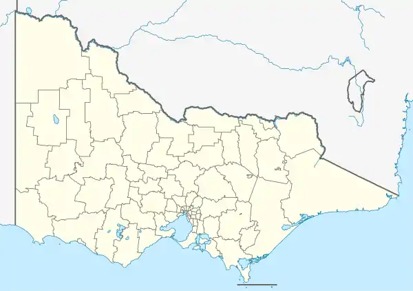
 Birchip Location within Victoria | ||||||||||||||||
Birchip is a closed railway station, on the Mildura railway line, in the town of Birchip, Victoria, Australia. It is 389 km from Southern Cross station, in Melbourne.
In late 1987, a number of changes occurred at Birchip,[1] including the No.2 track booked out of service, and the abolition of a number of plunger locked points and signals, with a new up signal provided, located at the down end of the Wycheproof Road level crossing.[1] Also provided around this time was a crossing loop.[1] Further alterations occurred in March 1990, including the removal of a number of signal posts and Annett locks.[2]
References
External links
- Melway map at street-directory.com.au
This article is issued from Wikipedia. The text is licensed under Creative Commons - Attribution - Sharealike. Additional terms may apply for the media files.