Birur
Biruru | |
|---|---|
Town | |
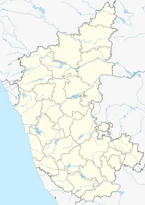
 Birur Location in Karnataka, India | |
| Coordinates: 13°35′45″N 75°58′16″E / 13.5959°N 75.9711°E | |
| Country | |
| State | Karnataka |
| District | Chikkamagaluru |
| Government | |
| • Body | Town Municipal Council |
| Area | |
| • Town | 5.70 km2 (2.20 sq mi) |
| • Rural | 18.996 km2 (7.334 sq mi) |
| Elevation | 833 m (2,733 ft) |
| Population (2011) | |
| • Town | 22,723 [1] |
| • Rural | 827 |
| Languages | |
| • Official | Kannada |
| Time zone | UTC+5:30 (IST) |
| PIN | 577 116 |
| Telephone code | 08267 |
| Vehicle registration | KA-66, KA-18 |
| Website | web |
Birur is a town located in Kadur Taluk in Chikkamagaluru district in the state of Karnataka, India. It belongs to Mysuru Division. It is located 41 km east from district headquarters Chikkamagaluru.
It has an average elevation of 833 metres (2732 feet). It is also called the Gateway of Malnad region. As of 2001 India census, Birur had a population of 22,601.
Birur is a place famous for its Arecanut/Supari plantations and Coconut.
- The Town Municipal Council was started in 01/09/1912
- The TMC has 23 wards and equal number of Councilors
Birur is surrounded by Tarikere Taluk to the west, Chikkamagaluru Taluk to the west and south, Ajjampura Taluk to the north, Hosadurga Taluk to the East. Birur is 214 km from Bangalore, 198 km from Mysore, and 7 km from Kadur (Taluk Hq). An inscription dated 1063 A.D. mentions the place as ‘Beeravuru’. Birur Junction railway station is a major railway junction from where trains run in three directions.
There are temples dedicated to Veerabhadhra swamy, Antaraghattamma, Mylaralinga and Biredevaru. The Biredevaru jatra takes place once in 12 years for 15 days.
Colleges near Birur
- Government Pre-University College, B.H Road, Kadur-577548
- Government First Grade College, B.H Road, Kadur-577548
- Government Pre-University College, Main Road, Kuvempu Nagar, Chowlahiriyur-577180
- SK Pre-University College, Singatagere, Banavara Road
- Sri Maruthi Pre-University College, Nidaghatta Post, Kadur Taluk, Chikkamagaluru-57754
Nearby places
- Kemmangundi: 35 km from Birur town is Kemmangundi, a scenic hill station on the Baba Budan range of hills.
- Kallathigiri Falls: 10 km away from Kemmangundi is Kallathigiri falls, also known as Kallatthi Falls. Water cascades 122 metres down from the top of the Chandra Drona Hill.
- Amruthapura : 37 km north of Birur, Amruthapura is known for the Amruteshwara temple built in 1196 A.D by Amruteshwara Dandanayaka, a general of the Hoysala ruler Ballala II.
- Hebbe Falls: This waterfall is 10 km from Kemmangundi. Water streams down 168 metres in two stages to form Dodda Hebbe (Big Falls) and Chikka Hebbe (Small Falls.).
References
- ↑ "Census Data Handbook 2011" (PDF). Retrieved 30 July 2023.