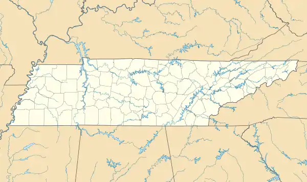
Bitter End, Tennessee | |
|---|---|
 Bitter End, Tennessee  Bitter End, Tennessee | |
| Coordinates: 36°12′42″N 82°02′24″W / 36.21167°N 82.04000°W | |
| Country | United States |
| State | Tennessee |
| County | Carter |
| Elevation | 3,455 ft (1,053 m) |
| Time zone | UTC-5 (Eastern (EST)) |
| • Summer (DST) | UTC-4 (EDT) |
| GNIS feature ID | 1314687[1] |
Bitter End is an unincorporated community in Carter County, Tennessee, United States.[1]
It is located about 12 mi (19 km) southeast of Elizabethton.
The Markland Cemetery is located north of the settlement.[2] A historic school, the Bitter End School, was located to the south.[3]
References
- 1 2 "Bitter End". Geographic Names Information System. United States Geological Survey, United States Department of the Interior.
- ↑ "Markland Cemetery". Geographic Names Information System. United States Geological Survey, United States Department of the Interior.
- ↑ "Bitter End School (historical)". Geographic Names Information System. United States Geological Survey, United States Department of the Interior.
This article is issued from Wikipedia. The text is licensed under Creative Commons - Attribution - Sharealike. Additional terms may apply for the media files.