| Boesmans River | |
|---|---|
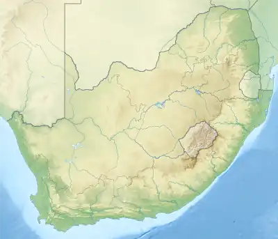
 Location of the Boesman's River mouth | |
| Native name | Qhorha (Xhosa) |
| Location | |
| Country | South Africa |
| Province | Eastern Cape |
| Towns | Kenton-on-Sea |
| Physical characteristics | |
| Source | |
| • location | North of Kirkwood, Eastern Cape, South Africa |
| Mouth | Indian Ocean |
• location | Kenton-on-Sea, Eastern Cape, South Africa |
• coordinates | 33°41′26″S 26°39′52″E / 33.6906°S 26.6645°E |
• elevation | 0 m (0 ft) |
| Length | 230 km (140 mi) |
| Basin size | 2,670 km2 (1,030 sq mi) |
| Discharge | |
| • location | Kenton-on-Sea |
Boesmans River (Afrikaans: Boesmansrivier) is a river in the Eastern Cape, South Africa. It originates north of Kirkwood and runs east past Alicedale, before it turns and twists south and east to Kenton on Sea, where it mouths into the Indian Ocean through a tidal estuary only 1.7 km to the SW of the mouth of the Kariega River.[1]
Tributaries
Its tributaries include: Bega River, iCamtarha, Ncazala River, Komga River, New Years River, Steins River, Swartwaters River, Soutkloof River and Bou River.[2]
See also
References
- ↑ Coastal dune dynamics and management
- ↑ "Eastern Cape Estuaries Management Programme" (PDF). Archived from the original (PDF) on 10 March 2016. Retrieved 13 March 2012.
External links
- Boesmansriviermond
- Google Map of Boesman River's mouth at Geonames.org (cc-by)
This article is issued from Wikipedia. The text is licensed under Creative Commons - Attribution - Sharealike. Additional terms may apply for the media files.