Bonnut | |
|---|---|
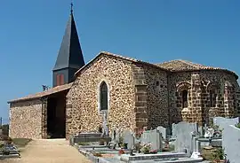 The church of Sainte-Marie of Castèth | |
Location of Bonnut | |
 Bonnut 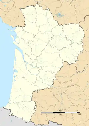 Bonnut | |
| Coordinates: 43°33′01″N 0°45′54″W / 43.5503°N 0.765°W | |
| Country | France |
| Region | Nouvelle-Aquitaine |
| Department | Pyrénées-Atlantiques |
| Arrondissement | Pau |
| Canton | Artix et Pays de Soubestre |
| Intercommunality | Lacq-Orthez |
| Government | |
| • Mayor (2020–2026) | Amandine Painset[1] |
| Area 1 | 22.01 km2 (8.50 sq mi) |
| Population | 827 |
| • Density | 38/km2 (97/sq mi) |
| Time zone | UTC+01:00 (CET) |
| • Summer (DST) | UTC+02:00 (CEST) |
| INSEE/Postal code | 64135 /64300 |
| Elevation | 66–161 m (217–528 ft) (avg. 129 m or 423 ft) |
| 1 French Land Register data, which excludes lakes, ponds, glaciers > 1 km2 (0.386 sq mi or 247 acres) and river estuaries. | |
Bonnut (French pronunciation: [bɔnyt]) is a commune in the Pyrénées-Atlantiques department in southwestern France. It is best known for the Château de Bonnut, the former residence of Henri Laborde, a general in Napoleon's army.
Inhabitants of Bonnut are called Bonnutiens in French.[3]
See also
References
- ↑ "Répertoire national des élus: les maires". data.gouv.fr, Plateforme ouverte des données publiques françaises (in French). 9 August 2021.
- ↑ "Populations légales 2021". The National Institute of Statistics and Economic Studies. 28 December 2023.
- ↑ Pyrénées-Atlantiques, habitants.fr
Wikimedia Commons has media related to Bonnut.
This article is issued from Wikipedia. The text is licensed under Creative Commons - Attribution - Sharealike. Additional terms may apply for the media files.