| Boobir Dam | |
|---|---|
 Boobir Dam | |
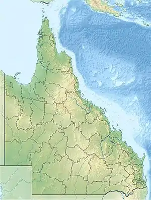
| Location | 1 km West of Blackbutt, Queensland |
| Coordinates | 26°53′11″S 152°05′28″E / 26.8864°S 152.091°E |
| Type | reservoir |
| Basin countries | Australia |
| Max. length | 400 m (1,300 ft) |
| Max. width | 125 m (410 ft) |
| Surface area | 0.05 ha (0.12 acres) |
| Water volume | 179 ML (6.3×10⁶ cu ft) |
| Settlements | Blackbutt |
Boobir Creek Dam is a relatively small dam that supplies the town water supply for Blackbutt, Queensland.[1]
Management
The dam is owned and managed by the South Burnett Regional Council (until 2008, by Nanango Shire Council) to provide a safe, reliable water supply for Blackbutt. At present, tourist facilities are not provided and the road into the dam is locked.
Drought
During the early 2000s drought, Boobir Creek Dam ran nearly dry, and Nanango Shire Council called for urgent tenders to complete a pipeline from Wivenhoe Dam. The project was altered after years of good, flooding rain in 2008, 2010/11 and 2013.
References
- ↑ Jin, Jim (24 October 2022). "Why water is discoloured in Blackbutt". Burnett Today. Retrieved 23 February 2023.
See also
This article is issued from Wikipedia. The text is licensed under Creative Commons - Attribution - Sharealike. Additional terms may apply for the media files.