| Bow Bridge | |
|---|---|
 | |
| Location | Plox, Bruton, Somerset, England |
| Coordinates | 51°06′43″N 2°27′18″W / 51.11194°N 2.45500°W |
| Built | 15th century |
Listed Building – Grade I | |
| Designated | 24 March 1961[1] |
| Reference no. | 261617 |
| Designated | 29 August 1984[2] |
| Reference no. | Somerset County No 176 |
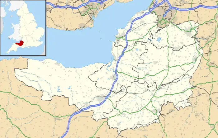
 Location of Bow Bridge in Somerset | |
Bow Bridge is a 15th-century packhorse bridge over the River Brue in Plox, Bruton, Somerset, England. It has been designated as a Grade I listed building,[1] and Scheduled Ancient Monument.[2]
The bridge may have been built as a link between the former Bruton Abbey, and its courthouse in the High Street.[1] On the parapet on the western side of the bridge the remains of a carved shield can still be seen.[2] It had acquired the name Bow Bridge by 1707.[3]
The narrow bridge of three arches is 42 inches (1,100 mm) wide. The main arch of the bridge is built from chamfered blocks of dressed stone.[4]
The bridge was restored after floods on 12 July 1982.[5]
See also
References
- 1 2 3 "Bow Bridge". historicengland.org.uk. English Heritage. Retrieved 3 July 2009.
- 1 2 3 "Bow Bridge (also known as The Packhorse Bridge), Plox (North West side), Bruton". Somerset Historic Environment Record. Somerset County Council. Retrieved 3 July 2009.
- ↑ "Bruton". A History of the County of Somerset: Volume 7: Bruton, Horethorne and Norton Ferris Hundreds (1999), pp. 18-42. British History Online. Retrieved 20 November 2010.
- ↑ Hinchliffe, Ernest (1994). Guide to the Packhorse Bridges of England. Cicerone. pp. 147–148. ISBN 978-1852841430.
- ↑ "Bow Bridge, Bruton". Transport Heritage. Retrieved 20 November 2010.
External links
![]() Media related to Bow Bridge, Bruton at Wikimedia Commons
Media related to Bow Bridge, Bruton at Wikimedia Commons
This article is issued from Wikipedia. The text is licensed under Creative Commons - Attribution - Sharealike. Additional terms may apply for the media files.