Bowesmont, North Dakota | |
|---|---|
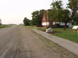 A church in Bowesmont | |
 Bowesmont, North Dakota  Bowesmont, North Dakota | |
| Coordinates: 48°41′24″N 97°10′41″W / 48.69000°N 97.17806°W | |
| Country | United States |
| State | North Dakota |
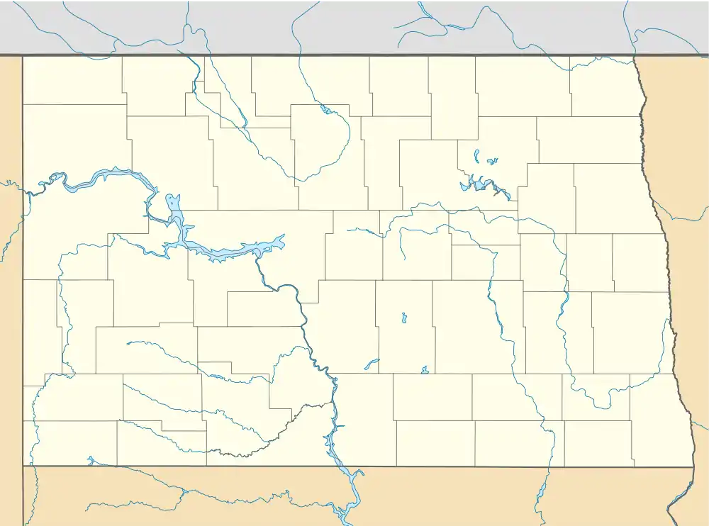
| County | Pembina |
| Elevation | 794 ft (242 m) |
| Time zone | UTC-6 (Central (CST)) |
| • Summer (DST) | UTC-5 (CDT) |
| Area code | 701 |
| GNIS feature ID | 1028097[1] |
Bowesmont is a ghost town in Pembina County, North Dakota, United States. Bowesmont is located along a BNSF Railroad line near Interstate 29, 8.2 miles (13.2 km) north of Drayton.[2] The community was initially named Alma for Alma, Ontario in 1878; the name was changed to Bowesmont, for William Bowes, the town's first shopkeeper, six months later.[1] According to legend, Bowes won the right to name the town in a card game.[3]
Bowesmont was devastated by flooding of the Red River in 1997. Only an old church and a small trucking outfit are left, with no residential area. An annual pilgrimage occurs the second Sunday of July where old friends, family and neighbors meet in the old church to celebrate what was the town they loved.[4]
Notable person
- Harold Keith Johnson, Chief of Staff of the United States Army from 1964 to 1968[5]
References
- 1 2 "Bowesmont". Geographic Names Information System. United States Geological Survey, United States Department of the Interior.
- ↑ Pembina County (PDF) (Map). North Dakota Department of Transportation. 2006. Archived from the original (PDF) on October 2, 2006. Retrieved March 14, 2012.
- ↑ Federal Writers' Project workers (1938). North Dakota: A Guide to the Northern Prairie State. Works Progress Administration. p. 352.
- ↑ https://www.fema.gov/pdf/about/regions/regionviii/jurnys32.pdf
- ↑ Capace, Nancy (2001). Encyclopedia of North Dakota. Somerset Publishers. p. 411.
External links
Municipalities and communities of Pembina County, North Dakota, United States | ||
|---|---|---|
| Cities |  Map of North Dakota highlighting Pembina County | |
| Townships | ||
| Unincorporated communities | ||
This article is issued from Wikipedia. The text is licensed under Creative Commons - Attribution - Sharealike. Additional terms may apply for the media files.