Brđani Cesta | |
|---|---|
Village | |
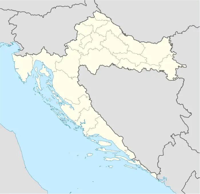 Brđani Cesta Location of Brđani Cesta in Croatia | |
| Coordinates: 45°23′00″N 16°30′00″E / 45.38333°N 16.50000°E | |
| Country | |
| Region | Continental Croatia (Banovina) |
| County | |
| Municipality | Sunja |
| Area | |
| • Total | 4.3 km2 (1.7 sq mi) |
| Elevation | 133 m (436 ft) |
| Population (2021)[2] | |
| • Total | 94 |
| • Density | 22/km2 (57/sq mi) |
| Time zone | UTC+1 (CET) |
| • Summer (DST) | UTC+2 (CEST) |
| Postal code | 44211 Blinjski Kut |
| Area code | (+385) 44 |
Brđani Cesta is a village in Croatia, in the municipality of Sunja, Sisak-Moslavina County. It is connected by the D224 highway.
Demographics
According to the 2011 census,[3] the village of Brđani Cesta has 135 inhabitants. This represents 44.55% of its pre-war population according to the 1991 census.
The 1991 census[4] recorded that 91.42% (277/303) of the village population were ethnic Serbs, 3.30% were Yugoslavs (10/303), 1.98% were ethnic Croats (6/303) and 3.30% were of other/unknown ethnic origin (10/303).
Sources: Croatian Bureau of Statistics
- NOTE: From 1957-1971 includes data for Blinjska Greda settlement. From 1981 census on, Blinjska Greda settlement is reported separately.
Notable natives and residents
References
- ↑ Register of spatial units of the State Geodetic Administration of the Republic of Croatia. Wikidata Q119585703.
- ↑ "Population by Age and Sex, by Settlements, 2021 Census". Census of Population, Households and Dwellings in 2021. Zagreb: Croatian Bureau of Statistics. 2022.
- 1 2 "Population by Age and Sex, by Settlements, 2011 Census: Brđani Cesta". Census of Population, Households and Dwellings 2011. Zagreb: Croatian Bureau of Statistics. December 2012.
- ↑ Izdanje Državnog zavoda za statistiku RH: Narodnosni sastav stanovništva RH od 1880-1991. godine.
- ↑ Naselja i stanovništvo Republike Hrvatske 1857-2001, www.dzs.hr
This article is issued from Wikipedia. The text is licensed under Creative Commons - Attribution - Sharealike. Additional terms may apply for the media files.