| Breckenridge Reservoir | |
|---|---|
 | |
 Breckenridge Reservoir  Breckenridge Reservoir | |
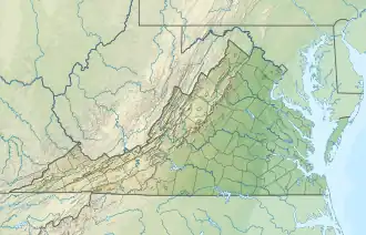
| Location | Prince William / Stafford counties, Virginia, US |
| Coordinates | 38°32′10″N 77°23′30″W / 38.536233°N 77.39165°W |
| Type | reservoir |
| Primary inflows | Chopawamsic Creek |
| Primary outflows | Chopawamsic Creek |
| Basin countries | United States |
| Max. length | 1 mi (1.6 km) |
| Max. width | .1 mi (0.16 km) |
| Surface elevation | 132 ft (40 m) |
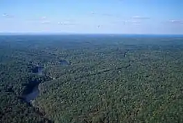
Breckenridge Reservoir is a small reservoir on Chopawamsic Creek in Prince William and Stafford counties, Virginia. The reservoir's western shore is the Marine Corps Base Quantico and the eastern shore is a part of Prince William Forest Park, which is a unit of the National Park Service. The reservoir is open to fishing along with a Virginia fishing license and Marine Corps Base Quantico permit. Primitive campsites and a hiking trail are on the Prince William Forest Park side of the reservoir. Reservoir storage volume is approximately 22,500,000 cubic feet (517 acre-feet) with a surface area of about 1,820,000 square feet (41.9 acres).[1]
References
- ↑ Wicklein, S.M. (2012). Bathymetric contours of Breckenridge Reservoir, Quantico, Virginia. Reston, Va.: U.S. Department of the Interior, U.S. Geological Survey. Retrieved 5 October 2015.
External links
This article is issued from Wikipedia. The text is licensed under Creative Commons - Attribution - Sharealike. Additional terms may apply for the media files.