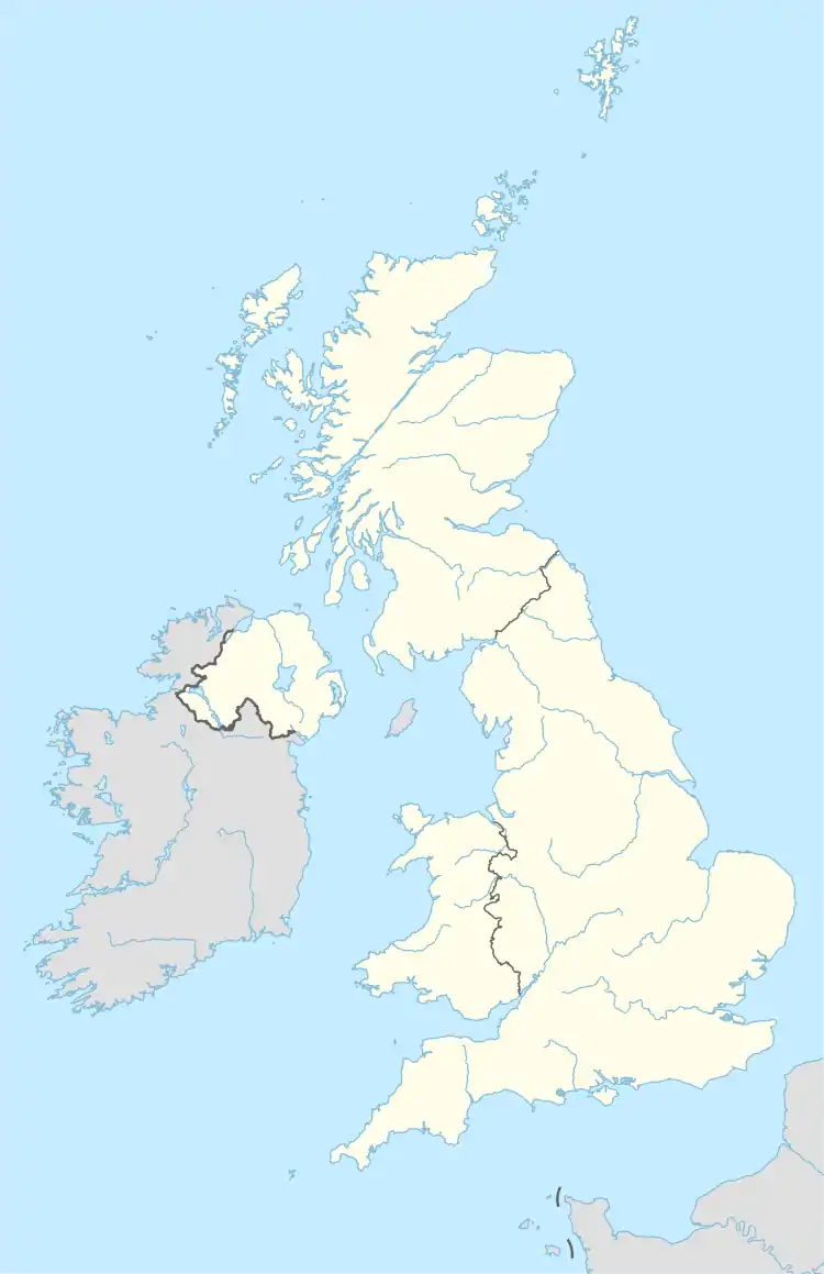
Briar Hill | |
|---|---|
 Briar Hill Map showing location of Briar Hill | |
| Coordinates: 52°13′36.20″N 0°55′17.69″W / 52.2267222°N 0.9215806°W | |
| Sovereign State | United Kingdom |
| Country | England |
| County | Northamptonshire |
| Town | Northampton |
| District | Briar Hill |
| Area | |
| • Total | 0.34 sq mi (0.88 km2) |
| Elevation | 266 ft (81 m) |
Briar Hill is a district of Northampton, England, United Kingdom.[1]
References
- ↑ "OS Maps: online mapping and walking, running and cycling routes". osmaps.ordnancesurvey.co.uk. Retrieved 5 September 2020.
This article is issued from Wikipedia. The text is licensed under Creative Commons - Attribution - Sharealike. Additional terms may apply for the media files.
