| Brohlbach | |
|---|---|
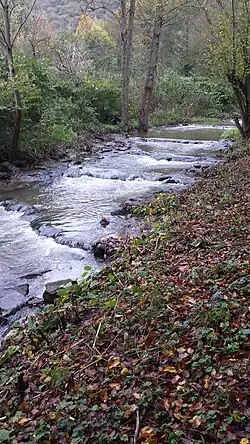
 The Brohlbach shortly before its mouth | |
| Location | |
| Country | Germany |
| State | Rhineland-Palatinate |
| Physical characteristics | |
| Mouth | Rhine |
• location | Brohl-Lützing, Ahrweiler |
• coordinates | 50°29′05″N 7°19′56″E / 50.48468°N 7.33214°E |
| Length | 19.8 km (12.3 mi) [1] |
| Basin features | |
| Progression | Rhine→ North Sea |
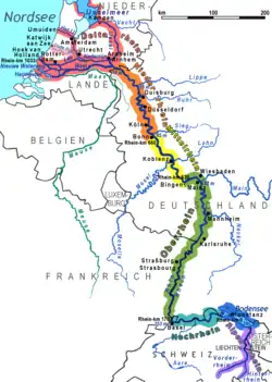
Brohlbach is a river of Rhineland-Palatinate, Germany. It is a left tributary of the Rhine at Brohl-Lützing.[2]
The valley of the Brohlbach is called Brohltal (Brohl Valley), not Brohlbachtal (Brohlbach Valley).[3][4]
See also
References
- ↑ Geoexplorer of the Rhineland-Palatinate Water Authority (Wasserwirtschaftsverwaltung Rheinland-Pfalz)
- ↑ Google (6 March 2018). "Brohlbach" (Map). Google Maps. Google. Retrieved 6 March 2018.
- ↑ Siewers, Josef. "Das Brohltal - Auenlandschaft zwischen Vulkanen" (in German). Retrieved 7 March 2018.
- ↑ "The Rhine, Brohl, and Ahr river valleys". City of Bonn. Archived from the original on 12 March 2018. Retrieved 11 March 2018.
This article is issued from Wikipedia. The text is licensed under Creative Commons - Attribution - Sharealike. Additional terms may apply for the media files.
