| Bulgan Gol-Ikh Ongog National Park | |
|---|---|
| Mongolian: Булган Гол | |
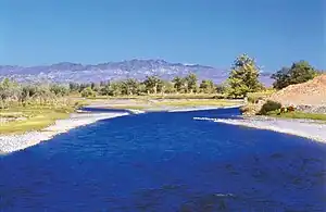
 Bulgan River | |
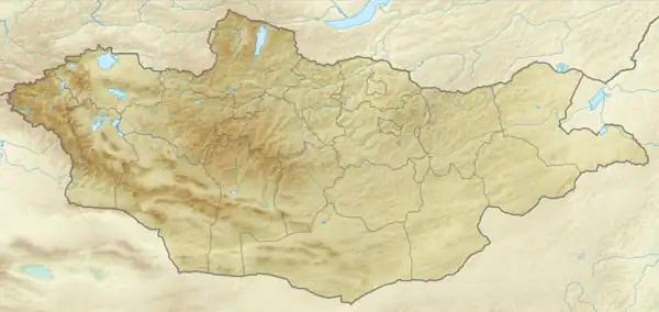
 Location of park | |
| Location | Mongolia |
| Coordinates | 46°06′N 91°10′E / 46.1°N 91.16°E |
| Area | 2,461 square kilometres (950 sq mi) |
| Established | 2011 |
| Governing body | Ministry of Environment and Green Development of Mongolia |
Bulgan Gol-Ikh Ongog National Park (Mongolian: Булган Гол) is centered on the Bulgan River, which divides into many meandering streams, lakes, and wetlands as if flow through the valley in the park. The area is an important stopover for migratory birds. Species in the park include the vulnerable eastern imperial eagle, and the lesser kestrel.[1][2]
Topography
The Bulgan River originates in the Altai Mountains of western Mongolia, and flows westward into Ulungur Lake in China. The Bulgan River Valley is relatively broad and flat, permitting the meandering river to divide in many places to produce islands and riparian wetlands.[2]
Climate and ecoregion
The climate of the area is cold semi-arid climate (Köppen climate classification (BSk)). This climate is characteristic of steppe climates intermediary between desert humid climates, and typically have precipitation is above evapotranspiration. At least one month averages below 0 °C (32 °F).[3][4]
Flora and fauna
Vegetation in the Bulgan River Valley is desert steppe. The wetlands along the banks support reed beds and shrubs. The area is important for migratory birds, and is used by notable species that include the vulnerable swan goose (Anser cygnoides), the vulnerable eastern imperial eagle (Aquila heliaca) and the lesser kestrel (Falco naumanni).[2] The site also supports the Eurasian beaver (Castor fiber).
See also
References
- ↑ "Bulgan gol-Ikh Ongog". Protected Planet. Retrieved April 11, 2020.
- 1 2 3 "Bulgan gol-Ikh Ongog". Birdlife International. Retrieved April 11, 2020.
- ↑ Kottek, M., J. Grieser, C. Beck, B. Rudolf, and F. Rubel, 2006. "World Map of Koppen-Geiger Climate Classification Updated" (PDF). Gebrüder Borntraeger 2006. Retrieved September 14, 2019.
{{cite web}}: CS1 maint: multiple names: authors list (link) CS1 maint: numeric names: authors list (link) - ↑ "Dataset - Koppen climate classifications". World Bank. Retrieved September 14, 2019.