Burubaytal
Буырылбайтал | |
|---|---|
 Burubaytal | |
| Coordinates: 44°56′06″N 74°01′05″E / 44.935°N 74.018°E | |
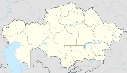
| Country | Kazakhstan |
| Regions of Kazakhstan | Jambyl Region |
| Districts of Kazakhstan | Moiynkum District |
| Population (2009) | |
| • Total | 336 |
Burubaytal (Kazakh: Буырылбайтал, Buyrylbaital) is a town located in the Moiynkum District, Jambyl Region, Kazakhstan.[1] The European route E125 passes by the town.
Demographics
According to the 2009 Kazakhstani Census, the town has a population of 336 people (162 men and 174 women).[2]
As of 1999, the town had a population of 264 people (132 men and 132 women).
Geography
The town is located 15 kilometers (9.3 mi) to the northwest of the northern shore of lake Itishpes.[3][4]
References
- ↑ "Where is Burubaytal in Zhambyl, Kazakhstan located?".
- ↑ "Visa Blog" Население Республики Казахстан (PDF) (in Russian). Committee on Statistics of Ministry of National Economy of the Republic of Kazakhstan. 2011. Archived (PDF) from the original on 2013-05-13.
- ↑ "L-43 Topographic Chart (in Russian)". Retrieved 19 August 2022.
- ↑ Google Earth.
44°56′06″N 74°01′05″E / 44.935°N 74.018°E
This article is issued from Wikipedia. The text is licensed under Creative Commons - Attribution - Sharealike. Additional terms may apply for the media files.