Camerton Colliery Halt | |
|---|---|
| General information | |
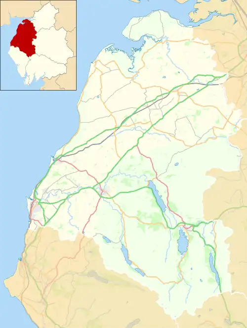
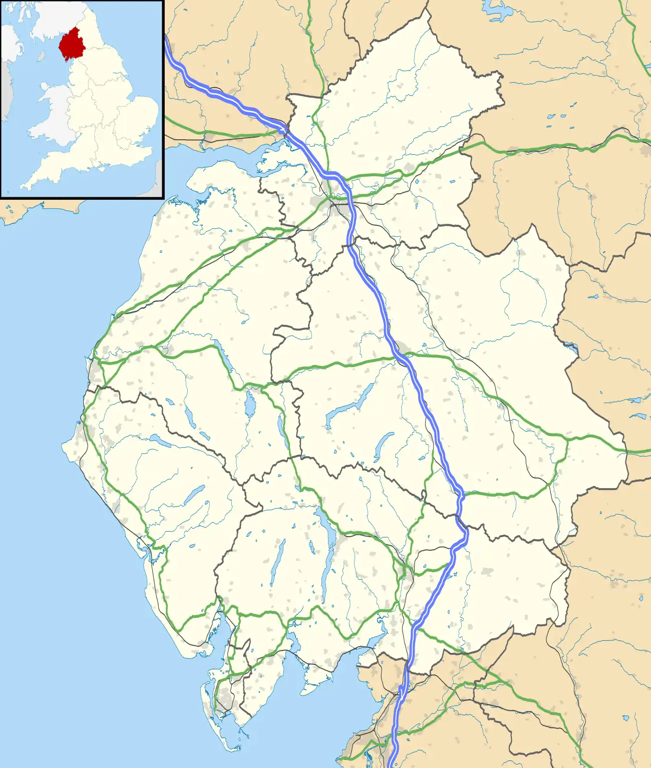
| Location | Camerton, near Cockermouth, Cumberland England |
| Coordinates | 54°39′47″N 3°29′47″W / 54.6631°N 3.4964°W |
| Grid reference | NY029309 |
| Other information | |
| Status | Disused |
| History | |
| Original company | Cleator and Workington Junction Railway |
| Key dates | |
| 24 March 1887 | Opened for workmen's trains[1] |
| By October 1923 | Closed[2][3][4] |
| Location | |

Cleator & Workington Junction Rly | |||||||||||||||||||||||||||||||||||||||||||||||||||||||||||||||||||||||||||||||||||||||||||||||||||||||||||||||||||||||||||||||||||||||||||||||||||||||||||||||||||||||||||||||||||||||||||||||||||||||||||||||||||||||||||||||||||||||||||||||||||||||||||||||||||||||||||||||||||||||||||||||||||||||||||||||||||||||||
|---|---|---|---|---|---|---|---|---|---|---|---|---|---|---|---|---|---|---|---|---|---|---|---|---|---|---|---|---|---|---|---|---|---|---|---|---|---|---|---|---|---|---|---|---|---|---|---|---|---|---|---|---|---|---|---|---|---|---|---|---|---|---|---|---|---|---|---|---|---|---|---|---|---|---|---|---|---|---|---|---|---|---|---|---|---|---|---|---|---|---|---|---|---|---|---|---|---|---|---|---|---|---|---|---|---|---|---|---|---|---|---|---|---|---|---|---|---|---|---|---|---|---|---|---|---|---|---|---|---|---|---|---|---|---|---|---|---|---|---|---|---|---|---|---|---|---|---|---|---|---|---|---|---|---|---|---|---|---|---|---|---|---|---|---|---|---|---|---|---|---|---|---|---|---|---|---|---|---|---|---|---|---|---|---|---|---|---|---|---|---|---|---|---|---|---|---|---|---|---|---|---|---|---|---|---|---|---|---|---|---|---|---|---|---|---|---|---|---|---|---|---|---|---|---|---|---|---|---|---|---|---|---|---|---|---|---|---|---|---|---|---|---|---|---|---|---|---|---|---|---|---|---|---|---|---|---|---|---|---|---|---|---|---|---|---|---|---|---|---|---|---|---|---|---|---|---|---|---|---|---|---|---|---|---|---|---|---|---|---|---|---|---|---|---|---|---|---|---|---|---|---|---|---|---|---|---|---|---|---|---|---|---|---|
| |||||||||||||||||||||||||||||||||||||||||||||||||||||||||||||||||||||||||||||||||||||||||||||||||||||||||||||||||||||||||||||||||||||||||||||||||||||||||||||||||||||||||||||||||||||||||||||||||||||||||||||||||||||||||||||||||||||||||||||||||||||||||||||||||||||||||||||||||||||||||||||||||||||||||||||||||||||||||
Cockermouth and Workington Railway |
|---|
Camerton Colliery Halt railway station was an unadvertised halt for workers at one or both of the collieries at Camerton, near Cockermouth in Cumberland (now in Cumbria), England.[5]
Location
The halt is listed in the 1904 Railway Clearing House Handbook of Stations as "Camerton Colliery".[6] It also appears in three authoritative works, but does not appear in Jowett's railway atlas, nor can it be identified on any Ordnance Survey Map, although both collieries and their connections to Camerton's railways are plain to see.[7][8][9]
Camerton No. 1 colliery was situated in the valley bottom, north of the river, east of the Cockermouth and Workington Railway station and near that company's line to Cockermouth, to which it was connected. It appears to have closed in the early 1930s.
Camerton No. 2 colliery was situated to the north west of the village, on higher ground above the valley next to the road to Seaton, almost 1 km from No.1 Colliery by foot. In February 1890 it was connected to the Cleator and Workington Junction Railway's (C&WJR) "Northern Extension" which ran between Workington Central and Linefoot via Seaton (Cumbria). The specialist work on the line and the specialist work on unadvertised stations agree that the C&WJR provided the halt. The former does not give a location except in a large scale map, but the latter give its map reference as NY037313 which is where the Flimby Road crosses that company's line, some 650 metres east of No.2 Pit, but slightly nearer No.1 Pit.[2]
The line's specialist work omits the halt from its Track Diagrams.[10]
Opening and closure
The halt opened on 24 March 1887,[2] but its closure is acknowledged as unclear. As it was never publicly advertised standard works such as Bradshaw's Guide are silent. The C&WJR's 1920 Working Time Table (WTT) makes no mention of the colliery or the halt.[11] What appears to be the only on line mention of Camerton's collieries appears to suggest that Camerton No.2 was abandoned in 1911, which would explain it not being in the WTT or on OS maps from the 1930s.[12]
Services
Access to a C&WJR WTT for any date between 1890 and 1910 would give clear evidence of the halt's location and services.
History
The C&WJR was built in the late 1870s, being one of the fruits of the rapid industrialisation of West Cumberland in the second half of the nineteenth century, specifically being born as a reaction to oligopolistic behaviour by the London and North Western and Whitehaven, Cleator and Egremont Railways.[13]
It was originally intended to drive the line northwards across country to meet the Caledonian Railway and cross into Scotland by the Solway Viaduct, but an accommodation was made with the LNWR leading to the intended northern extension being greatly watered down to three lines:
- a 1 mile 54 chains (2.7 km) link from Workington Central to Siddick Junction which opened in 1880
- a 30 chains (0.60 km) link from Cloffocks Junction to the CKPR line which opened in March 1885, and
- the 6 miles 30 chains (10.3 km) "Northern Extension" on the high ground past Camerton to Linefoot.[14]
All lines in the area were primarily aimed at mineral traffic, notably iron ore, coal and limestone, none more so than the Northern Extension, which passed through open country. Passenger services were provided calling at Great Broughton, but they were so unsuccessful they petered out after a mere two months. The C&WJR earned the local name "The Track of the Ironmasters".[15]
The founding Act of Parliament of June 1878 confirmed the company's agreement with the Furness Railway that the latter would operate the line for one third of the receipts.[16]
All C&WJR's lines were heavily graded. Almost all of the first three miles of the Northern Extension from Calva Junction past Camerton was rising at 1 in 70, with gentler slopes thereafter to the extension's summit at Great Broughton[17] This favoured loaded coal and coke trains heading for Workington..
The Northern Extension became part of the London, Midland and Scottish Railway at the Grouping of 1923.
Like any business tied to one or few industries, the C&WJR was particularly at the mercy of trade fluctuations and technological change. The Cumberland iron industry led the charge in the nineteenth century, but became less and less competitive as time passed and local ore became worked out and harder to win, taking the fortunes of the railway with it. The peak year was 1909, when the C&WJR handled 1,644,514 tons of freight.[18] Ominously for the line, that tonnage was down to just over 800,000 by 1922, bringing receipts of £83,349, compared with passenger fares totalling £6,570.[19]
The high water mark for tonnage on the C&WJR was 1909, the high water mark for progress was 1913, with the opening of the Harrington and Lowca line for passenger traffic. A chronology of the line's affairs from 1876 to 1992 has almost no entries before 1914 which fail to include "opened" or "commenced". After 1918 the position was reversed, when the litany of step-by-step closures and withdrawals was relieved only by a control cabin and a signalbox being erected at Harrington Junction in 1919.
The line north of Buckhill was closed in 1921 and subsequently lifted. Buckhill colliery closed in 1932, depriving the line of purpose. Nevertheless, it became a remarkable survivor, because the Admiralty, attracted by a remote area with rail and sea access, chose part of the site of Buckhill Colliery and the surrounding area to build a rail-served armaments depot which opened in 1938 and closed in 1992, [20]taking the line with it. After the closure of the C&WJR south of Workington Central in 1965 all trains past the site of the halt to the armaments depot travelled south from Siddick Junction past Calva Junction, where they reversed towards Seaton.
Afterlife
By 2013 the trackbed through the site of the halt was a public off-road trail.
| Preceding station | Disused railways | Following station | ||
|---|---|---|---|---|
| Seaton (Cumbria) Line and station closed |
Cleator and Workington Junction Railway Northern Extension |
Buckhill Colliery Halt Line and station closed |
See also
References
- ↑ McGowan Gradon 2004, p. 68.
- 1 2 3 Croughton, Kidner & Young 1982, p. 55.
- ↑ Butt 1995, p. 52.
- ↑ Quick 2009, p. 112.
- ↑ McGowan Gradon 2004, pp. 6 & 68.
- ↑ Wain 1982, p. 7.
- ↑ Camerton and its collieries, via National Library of Scotland{
- ↑ Smith & Turner 2012, Map 26.
- ↑ Jowett 1989, Map 36.
- ↑ McGowan Gradon 2004, p. 63.
- ↑ Haynes 1920, Throughout.
- ↑ Abandonment Map Index, via Durham Mining Museum
- ↑ Anderson 2002, p. 309.
- ↑ McGowan Gradon 2004, p. 59.
- ↑ Anderson 2002, p. 313.
- ↑ Marshall 1981, p. 117.
- ↑ McGowan Gradon 2004, p. 64.
- ↑ McGowan Gradon 2004, p. 50.
- ↑ Suggitt 2008, p. 65.
- ↑ McGowan Gradon 2004, pp. 57–59.
Sources
- Anderson, Paul (April 2002). Hawkins, Chris (ed.). "Dog in the Manger? The Track of the Ironmasters". British Railways Illustrated. Clophill: Irwell Press Ltd. 11 (7). ISSN 0961-8244.
- Butt, R. V. J. (October 1995). The Directory of Railway Stations: details every public and private passenger station, halt, platform and stopping place, past and present (1st ed.). Sparkford: Patrick Stephens Ltd. ISBN 978-1-85260-508-7. OCLC 60251199. OL 11956311M.
- Croughton, Godfrey; Kidner, R. W.; Young, Alan (1982). Private and Untimetabled Railway Stations, Halts and Stopping Places. The Oakwood Press. ISBN 978-0-85361-281-0. OCLC 10507501.
- Jowett, Alan (March 1989). Jowett's Railway Atlas of Great Britain and Ireland: From Pre-Grouping to the Present Day (1st ed.). Sparkford: Patrick Stephens Ltd. ISBN 978-1-85260-086-0. OCLC 22311137.
- Haynes, Jas. A. (April 1920). Cleator & Workington Junction Railway Working Time Table. Central Station, Workington: Cleator and Workington Junction Railway.
- McGowan Gradon, W. (2004) [1952]. The Track of the Ironmasters: A History of the Cleator and Workington Junction Railway. Grange-over-Sands: Cumbrian Railways Association. ISBN 978-0-9540232-2-5.
- Quick, Michael (2009) [2001]. Railway passenger stations in Great Britain: a chronology (4th ed.). Oxford: Railway & Canal Historical Society. ISBN 978-0-901461-57-5. OCLC 612226077.
- Smith, Paul; Turner, Keith (2012). Railway Atlas Then and Now. Shepperton: Ian Allan Publishing. ISBN 978-0-7110-3695-6.
- Suggitt, Gordon (2008). Lost Railways of Cumbria (Railway Series). Newbury: Countryside Books. ISBN 978-1-84674-107-4.
- Wain, Peter (October 1982). Peascod, Michael (ed.). "Response to article about Linefoot". Cumbrian Railways. Pinner: Cumbrian Railways Association. 2 (12). ISSN 1466-6812.
Further reading
- Atterbury, Paul (2009). Along Lost Lines. Newton Abbot: David and Charles. ISBN 978-0-7153-2706-7.
- Bairstow, Martin (1995). Railways In The Lake District. Martin Bairstow. ISBN 978-1-871944-11-2.
- Bowtell, Harold D. (1989). Rails through Lakeland: An Illustrated Journey of the Workington-Cockermouth-Keswick-Penrith Railway 1847-1972. Wyre: Silverlink Publishing Ltd. ISBN 978-0-947971-26-7.
- Bradshaw, George (1985) [July 1922]. Bradshaw's General Railway and Steam Navigation guide for Great Britain and Ireland: A reprint of the July 1922 issue. Newton Abbot: David & Charles. ISBN 978-0-7153-8708-5. OCLC 12500436.
- Conolly, W. Philip (1998). British railways pre-grouping atlas and gazetteer (9th impression; 5th ed.). Shepperton: Ian Allan. ISBN 978-0-7110-0320-0. OCLC 221481275.
- Griffiths, Roger; Smith, Paul (2000). The Directory of British Engine Sheds and Principal Locomotive Servicing Points: 2 North Midlands, Northern England and Scotland. OPC Railprint. ISBN 978-0-86093-548-3. OCLC 59558605.
- Joy, David (1983). Lake Counties (Regional History of the Railways of Great Britain). Newton Abbot: David and Charles. ISBN 978-0-946537-02-0.
- Marshall, John (1981). Forgotten Railways: North West England. Newton Abbot: David and Charles. ISBN 0 7153 8003 6.
- Robinson, Peter W. (2002). Cumbria's Lost Railways. Catrine: Stenlake Publishing. ISBN 978-1-84033-205-6.
- Webb, David R. (September 1964). Cooke, B.W.C. (ed.). "Between the Solway and Sellafield: Part One". The Railway Magazine. London: Tothill Press Limited. 110 (761). ISSN 0033-8923.
- Webb, David R. (October 1964). Cooke, B.W.C. (ed.). "Between the Solway and Sellafield: Part Two". The Railway Magazine. London: Tothill Press Limited. 110 (762). ISSN 0033-8923.
- Western, Robert (2001). The Cockermouth, Keswick and Penrith Railway. Usk: Oakwood Press. ISBN 978-0-85361-564-4. OL113.
External links
- Map of the CWJR with photos RAILSCOT
- Map of the WC&ER with photos RAILSCOT
- The line in green Rail Map Online
- The halt site(s) and collieries on overlain OS map National Library of Scotland
- The trackbed through the halt site on a 1948 OS Map npe maps
- The line, with halt not shown railwaycodes
- The railways of Cumbria Cumbrian Railways Association
- Photos of Cumbrian railways Cumbrian Railways Association
- The railways of Cumbria Railways_of_Cumbria
- Cumbrian Industrial History Cumbria Industrial History Society
- 5 September 1954, 7 May 1966 and 2 March 1968 railtours sixbellsjunction
- A video tour-de-force of the region's closed lines cumbriafilmarchive
- 1882 RCH Diagram showing the station, see page 173 of the pdf google
- Haematite earthminerals
- Coal and iron ore mining in Cleator Moor Haig Pit
- Photos of the C&WJR staff, tickets and timetables Harrington History
- Photos of Calva Jct to Buckhill Tim Harris
- Photos of Siddick Junction - Calva - Broughton Moor derbysulzers
- Cycle Network at Seaton visitcumbria

