Capitán Germán Quiroga Guardia Airport | |||||||||||
|---|---|---|---|---|---|---|---|---|---|---|---|
 | |||||||||||
| Summary | |||||||||||
| Airport type | Public | ||||||||||
| Location | San Borja, Bolivia | ||||||||||
| Elevation AMSL | 633 ft / 193 m | ||||||||||
| Coordinates | 14°51′25″S 66°44′15″W / 14.85694°S 66.73750°W | ||||||||||
| Map | |||||||||||
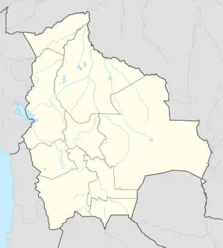
 SRJ Location of airport in Bolivia | |||||||||||
| Runways | |||||||||||
| |||||||||||
Capitán Germán Quiroga Guardia Airport (IATA: SRJ, ICAO: SLSB) is an airport serving San Borja, a town in the Beni Department of Bolivia. The runway is in the eastern side of the town.
The San Borja VOR (Ident: BOR) and non-directional beacon (Ident: SRJ) are located on the field.[3][4]
Accidents and incidents
- On 18 January 1976, Douglas C-47 CP-573 of Frigorifico Maniqui crashed near Capitán Germán Quiroga Guardia Airport, following a failure of the starboard engine. The aircraft was on a domestic non-scheduled passenger flight. Seven of the ten people on board were killed.[5]
See also
References
- ↑ Airport information for San Borja Airport at Great Circle Mapper.
- ↑ Google Maps - San Borja
- ↑ San Borja NDB
- ↑ San Borja VOR
- ↑ "CP-573 Accident description". Aviation Safety Network. Retrieved 15 August 2010.
External links
- Capitán Av. German Quiroga G. Airport at OpenStreetMap
- Capitán Av. German Quiroga G. Airport at OurAirports
- Aeronautical chart and airport information for Cap. German Quiroga G. Airport at SkyVector
- Capitán Av. German Quiroga G. Airport at FallingRain
- Accident history for San Borja-Capitan G.Q. Guardia Airport at Aviation Safety Network
- Current weather for San Borja at NOAA/NWS
This article is issued from Wikipedia. The text is licensed under Creative Commons - Attribution - Sharealike. Additional terms may apply for the media files.