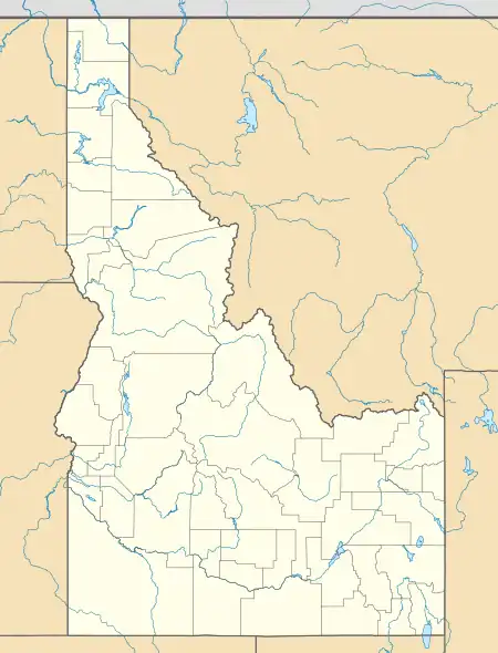
Careywood, Idaho | |
|---|---|
 Careywood, Idaho  Careywood, Idaho | |
| Coordinates: 48°02′05″N 116°38′36″W / 48.03472°N 116.64333°W | |
| Country | United States |
| State | Idaho |
| County | Bonner |
| Elevation | 2,280 ft (690 m) |
| Time zone | UTC-8 (Pacific (PST)) |
| • Summer (DST) | UTC-7 (PDT) |
| ZIP code | 83809 |
| Area code(s) | 208, 986 |
| GNIS feature ID | 396235[1] |
Careywood is an unincorporated community in Bonner County, Idaho, United States. Careywood is located on U.S. Route 95 6.5 miles (10.5 km) north-northeast of Athol. Careywood has a post office with ZIP code 83809.[2]
History
Originally known as Severance, the town was renamed Careywood after a man named Carey from Spokane who bought land in the area. At the time, Careywood was involved in the logging industry.[3] Caryewood's population was 25 in 1960.[4]
Climate
This region experiences warm (but not hot) and dry summers, with no average monthly temperatures above 71.6 °F. According to the Köppen Climate Classification system, Careywood has a warm-summer Mediterranean climate, abbreviated "Csb" on climate maps.[5]
References
- ↑ U.S. Geological Survey Geographic Names Information System: Careywood, Idaho
- ↑ ZIP Code Lookup Archived June 15, 2011, at the Wayback Machine
- ↑ Dahl, James Carl (1969). Place names of Bonner County, Idaho (M.A.). University of Idaho. p. 23. OCLC 41685795.
- ↑ World Book Encyclopedia. Vol. I. Field Enterprises Corporation. 1960. p. 27.
- ↑ Climate Summary for Careywood, Idaho
This article is issued from Wikipedia. The text is licensed under Creative Commons - Attribution - Sharealike. Additional terms may apply for the media files.