Carraízo | |
|---|---|
Barrio | |
.jpg.webp) Loíza Lake in Trujillo Alto | |
 Location of Carraízo within the municipality of Trujillo Alto shown in red | |
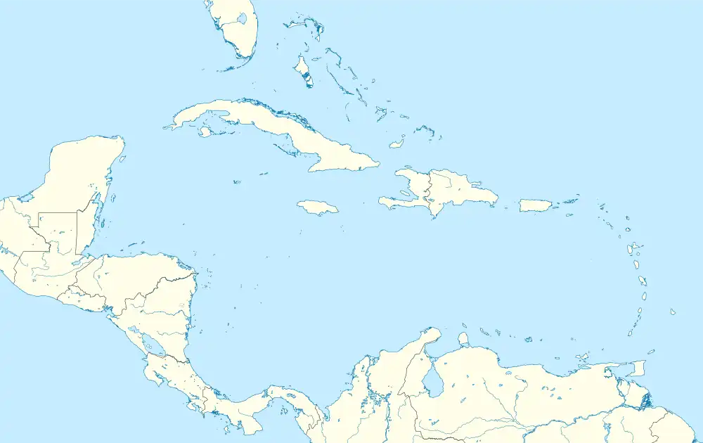
 Carraízo Location of Puerto Rico | |
| Coordinates: 18°20′07″N 66°01′30″W / 18.335286°N 66.024882°W[1] | |
| Commonwealth | |
| Municipality | |
| Area | |
| • Total | 5.34 sq mi (13.8 km2) |
| • Land | 5.00 sq mi (12.9 km2) |
| • Water | 0.34 sq mi (0.9 km2) |
| Elevation | 459 ft (140 m) |
| Population (2010) | |
| • Total | 16,399 |
| • Density | 3,279.8/sq mi (1,266.3/km2) |
| Source: 2010 Census | |
| Time zone | UTC−4 (AST) |
Carraízo is a barrio in the municipality of Trujillo Alto, Puerto Rico. Its population in 2010 was 16,399.[3][4][5]
History
Carraízo was in Spain's gazetteers[6] until Puerto Rico was ceded by Spain in the aftermath of the Spanish–American War under the terms of the Treaty of Paris of 1898 and became an unincorporated territory of the United States. In 1899, the United States Department of War conducted a census of Puerto Rico finding that the population of Carraízo barrio was 1,159.[7]
| Census | Pop. | Note | %± |
|---|---|---|---|
| 1900 | 1,159 | — | |
| 1910 | 1,065 | −8.1% | |
| 1920 | 1,340 | 25.8% | |
| 1930 | 1,444 | 7.8% | |
| 1940 | 1,784 | 23.5% | |
| 1950 | 2,252 | 26.2% | |
| 1960 | 3,427 | 52.2% | |
| 1970 | 0 | −100.0% | |
| 1980 | 11,081 | — | |
| 1990 | 14,710 | 32.7% | |
| 2000 | 16,380 | 11.4% | |
| 2010 | 16,399 | 0.1% | |
| U.S. Decennial Census 1899 (shown as 1900)[8] 1910-1930[9] 1930-1950[10] 1980-2000[11] 2010[12] | |||
Carraízo Dam and Loíza Lake
The Loíza Lake is a reservoir located in Carraizo, formed by the construction of the Carraízo Dam on the Río Grande de Loíza. It serves as the main water supply source of the San Juan metropolitan area.[13][14][15]
Gallery
.jpg.webp)
 View of Loíza Lake
.jpg.webp) Shack near Loíza Lake
Shack near Loíza Lake
Popular culture
"Carraízo" is popularly used in Puerto Rican vernacular Spanish as a minced oath to substitute for "carajo" (a vulgar term equivalent to "hell" in Caribbean Spanish).[16] The expression "anda pa'l Carraízo" and its variants is equivalent to "go to heck" or "buzz off" in English.[17] It is considered mild enough to use in polite company. The expression has spread to the Dominican Republic, probably due to the close ties between the two islands.[18]
See also
References
- 1 2 "US Gazetteer 2019". US Census. US Government.
- ↑ U.S. Geological Survey Geographic Names Information System: Carraízo barrio
- ↑ Picó, Rafael; Buitrago de Santiago, Zayda; Berrios, Hector H. Nueva geografía de Puerto Rico: física, económica, y social, por Rafael Picó. Con la colaboración de Zayda Buitrago de Santiago y Héctor H. Berrios. San Juan Editorial Universitaria, Universidad de Puerto Rico,1969.
- ↑ Gwillim Law (20 May 2015). Administrative Subdivisions of Countries: A Comprehensive World Reference, 1900 through 1998. McFarland. p. 300. ISBN 978-1-4766-0447-3. Retrieved 25 December 2018.
- ↑ Puerto Rico: 2010 Population and Housing Unit Counts.pdf (PDF). U.S. Dept. of Commerce, Economics and Statistics Administration, U.S. Census Bureau. 2010.
- ↑ "Anuario del comercio, de la industria, de la magistratura y de la administración. 1881". Biblioteca Nacional de España (in Spanish). p. 1614. Retrieved 4 April 2023.
- ↑ Joseph Prentiss Sanger; Henry Gannett; Walter Francis Willcox (1900). Informe sobre el censo de Puerto Rico, 1899, United States. War Dept. Porto Rico Census Office (in Spanish). Imprenta del gobierno. p. 162.
- ↑ "Report of the Census of Porto Rico 1899". War Department Office Director Census of Porto Rico. Archived from the original on July 16, 2017. Retrieved September 21, 2017.
- ↑ "Table 3-Population of Municipalities: 1930 1920 and 1910" (PDF). United States Census Bureau. Archived (PDF) from the original on August 17, 2017. Retrieved September 21, 2017.
- ↑ "Table 4-Area and Population of Municipalities Urban and Rural: 1930 to 1950" (PDF). United States Census Bureau. Archived (PDF) from the original on August 30, 2015. Retrieved September 21, 2014.
- ↑ "Table 2 Population and Housing Units: 1960 to 2000" (PDF). United States Census Bureau. Archived (PDF) from the original on July 24, 2017. Retrieved September 21, 2017.
- ↑ Puerto Rico: 2010 Population and Housing Unit Counts.pdf (PDF). U.S. Dept. of Commerce Economics and Statistics Administration U.S. Census Bureau. 2010. Archived (PDF) from the original on 2017-02-20. Retrieved 2019-08-02.
- ↑ U.S. Geological Survey
- ↑ Gellis, A.C.; Webb, R.M.; Wolfe, W.J.; McIntyre, S.C. (2 February 2012). "USGS Publications Warehouse". Water-Resources Investigations Report. doi:10.3133/wri994010. Retrieved 14 June 2020.
- ↑ "Land Use 1950, 1977, 1987 maps" (PDF). USGS. US Dept of the Interior. Retrieved 14 June 2020.
- ↑ "mandar para el carajo". Tesoro Lexicográfico del español de Puerto Rico. Academia Puertorriqueña de la Lengua Española. Retrieved 30 January 2022.
- ↑ Romney, Jared (2014). Speaking Boricua: A Practical Guide to Puerto Rican Spanish (Jared Romey's Speaking Latino Series). "Carraízo": Language Babel, Inc. ISBN 1517250714.
- ↑ Carraízo (2nda definición), Academia Dominicana de la Lengua. Diccionario del Español Dominicano. Editora Judicial, SRL. ISBN 978-9945891201.
{{cite book}}: CS1 maint: numeric names: authors list (link)