Cattolica Eraclea
| |
|---|---|
| Comune di Cattolica Eraclea | |
 | |
 Coat of arms | |
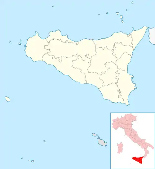
Location of Cattolica Eraclea | |
 Cattolica Eraclea Location of Cattolica Eraclea in Italy  Cattolica Eraclea Cattolica Eraclea (Sicily) | |
| Coordinates: 37°26′N 13°24′E / 37.433°N 13.400°E | |
| Country | Italy |
| Region | Sicily |
| Province | Agrigento (AG) |
| Government | |
| • Mayor | Santo Borsellino |
| Area | |
| • Total | 62.1 km2 (24.0 sq mi) |
| Elevation | 220 m (720 ft) |
| Population (31 December 2010)[2] | |
| • Total | 3,975 |
| • Density | 64/km2 (170/sq mi) |
| Demonym | Cattolicensi |
| Time zone | UTC+1 (CET) |
| • Summer (DST) | UTC+2 (CEST) |
| Postal code | 92011 |
| Dialing code | 0922 |
| Patron saint | St. Joseph |
| Saint day | 19 March |
| Website | Official website |
Cattolica Eraclea (Italian: [katˈtɔːlika eraˈklɛːa]; Sicilian: Catòlica) is a comune (municipality) in the Province of Agrigento in the Italian region Sicily, located about 80 kilometres (50 mi) south of Palermo and about 20 kilometres (12 mi) northwest of Agrigento nearby the Platani river valley.
The town was founded in medieval times. It received the name "Eraclea" in 1874, associating it to the ancient site of Heraclea Minoa nearby.
The economy is based on agriculture, including production of vine, olives, agrumes, fruit, almonds, cereals and wheat.
References
- ↑ "Superficie di Comuni Province e Regioni italiane al 9 ottobre 2011". Italian National Institute of Statistics. Retrieved 16 March 2019.
- ↑ All demographics and other statistics: Italian statistical institute Istat.
External links
This article is issued from Wikipedia. The text is licensed under Creative Commons - Attribution - Sharealike. Additional terms may apply for the media files.