Champigny en Rochereau | |
|---|---|
Location of Champigny en Rochereau | |
 Champigny en Rochereau 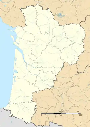 Champigny en Rochereau | |
| Coordinates: 46°42′58″N 0°09′22″E / 46.716°N 0.156°E | |
| Country | France |
| Region | Nouvelle-Aquitaine |
| Department | Vienne |
| Arrondissement | Poitiers |
| Canton | Migné-Auxances |
| Intercommunality | Haut-Poitou |
| Government | |
| • Mayor (2020–2026) | Dominique Dabadie[1] |
| Area 1 | 33.24 km2 (12.83 sq mi) |
| Population | 1,914 |
| • Density | 58/km2 (150/sq mi) |
| Time zone | UTC+01:00 (CET) |
| • Summer (DST) | UTC+02:00 (CEST) |
| INSEE/Postal code | 86053 /86170 |
| 1 French Land Register data, which excludes lakes, ponds, glaciers > 1 km2 (0.386 sq mi or 247 acres) and river estuaries. | |
Champigny en Rochereau (French pronunciation: [ʃɑ̃piɲi ɑ̃ ʁɔʃʁo]) is a commune in the department of Vienne, western France. The municipality was established on 1 January 2017 by merger of the former communes of Champigny-le-Sec (the seat) and Le Rochereau.[3]
See also
References
Wikimedia Commons has media related to Champigny en Rochereau.
- ↑ "Répertoire national des élus: les maires" (in French). data.gouv.fr, Plateforme ouverte des données publiques françaises. 13 September 2022.
- ↑ "Populations légales 2021". The National Institute of Statistics and Economic Studies. 28 December 2023.
- ↑ Arrêté préfectoral 19 July 2016 (in French)
This article is issued from Wikipedia. The text is licensed under Creative Commons - Attribution - Sharealike. Additional terms may apply for the media files.