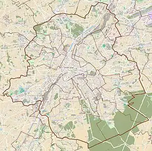
 The crossroad between the Chaussée de Wavre/Waverse Steenweg and the Boulevard du Souverain/Vorstlaan | |
 Location within Brussels  Chaussée de Wavre (Belgium) | |
| Location | City of Brussels, Brussels-Capital Region, Belgium |
|---|---|
| Coordinates | 50°50′13″N 4°22′03″E / 50.83694°N 4.36750°E |
The Chaussée de Wavre (French: [ʃo.se d(ə) wavʁ]) or Waversesteenweg (Dutch) is a major street in Brussels, Belgium, running through the municipalities of Ixelles, Etterbeek and Auderghem. It starts at a crossroad with the Chaussée d'Ixelles/Elsensesteenweg near the Namur Gate in Ixelles, goes down to the Place Jourdan/Jourdanplein in Etterbeek, then goes up to the La Chasse crossroad, continues to the Arsenal crossroad with the Greater Ring. After this crossroad, the street enters Auderghem, crosses the Boulevard du Souverain/Vorstlaan, then merges with the European route E411 where it runs along the Red Cloister and then the Sonian Forest. At its end, the road crosses the Brussels Ring. This street is part of the N4 road, which connects Brussels to Arlon. It is named after the city of Wavre (Wallonia).[1][2]
Several places of interest are located on the Chaussée de Wavre, among which the Vendôme cinema, the Royal Belgian Institute of Natural Sciences and the Jean-Félix Hap Garden.
See also
References
Citations
- ↑ "Chaussée de Wavre – Inventaire du patrimoine architectural". monument.heritage.brussels (in French). Retrieved 4 November 2023.
- ↑ "Chaussée de Wavre – Inventaire du patrimoine architectural". monument.heritage.brussels (in French). Retrieved 4 November 2023.
External links
 Media related to Chaussée de Wavre/Waversesteenweg at Wikimedia Commons