Chef-du-Pont | |
|---|---|
Part of Sainte-Mère-Église | |
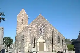 The church of Sainte-Colombe | |
Location of Chef-du-Pont | |
 Chef-du-Pont 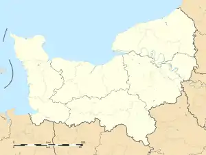 Chef-du-Pont | |
| Coordinates: 49°23′07″N 1°20′35″W / 49.3853°N 1.3431°W | |
| Country | France |
| Region | Normandy |
| Department | Manche |
| Arrondissement | Cherbourg |
| Canton | Carentan |
| Commune | Sainte-Mère-Église |
| Area 1 | 3.78 km2 (1.46 sq mi) |
| Population (2019)[1] | 671 |
| • Density | 180/km2 (460/sq mi) |
| Time zone | UTC+01:00 (CET) |
| • Summer (DST) | UTC+02:00 (CEST) |
| Postal code | 50480 |
| Elevation | 0–18 m (0–59 ft) (avg. 8 m or 26 ft) |
| 1 French Land Register data, which excludes lakes, ponds, glaciers > 1 km2 (0.386 sq mi or 247 acres) and river estuaries. | |
Chef-du-Pont (French pronunciation: [ʃɛf dy pɔ̃]) is a former commune in the Manche department in Normandy in north-western France. On 1 January 2016, it was merged into the commune of Sainte-Mère-Église.[2]
During World War 2, as part of the opening phase of Operation Overlord, due to the crossing point on the Merderet River, Chef-du-Pont was a priority objective of the Allies.[3] The objective was part of the 82nd Airborne Mission Boston parachute assault.
See also
References
- ↑ Téléchargement du fichier d'ensemble des populations légales en 2019, INSEE
- ↑ Arrêté préfectoral 2 December 2015 (in French)
- ↑ "Chef-du-Pont in 1944 – Manche – Battle of Normandy". www.dday-overlord.com.
Wikimedia Commons has media related to Chef-du-Pont.
This article is issued from Wikipedia. The text is licensed under Creative Commons - Attribution - Sharealike. Additional terms may apply for the media files.