Colbyn | |
|---|---|
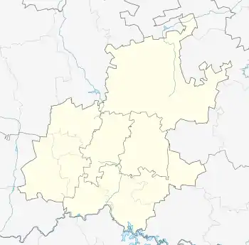
 Colbyn Colbyn's location in Gauteng | |
| Coordinates: 25°44′20″S 28°14′52″E / 25.73889°S 28.24778°E | |
| Country | South Africa |
| Province | Gauteng |
| Municipality | City of Tshwane |
| Main Place | Pretoria |
| Area | |
| • Total | 1.69 km2 (0.7 sq mi) |
| Population (2011)[1] | |
| • Total | 1,516 |
| • Density | 897/km2 (2,323.2/sq mi) |
| Race | |
| • White | 67.0% |
| • Asian | 1.3% |
| • Cape Coloured | 2.6% |
| • Black | 26.7% |
| • Other | 2.4% |
| Language | |
| • Afrikaans | 51.0% |
| • English | 32.4% |
| • Northern Sotho | 3.0% |
| • Tswana | 2.0% |
| • Other | 11.6% |
| Street | 0083 |
| Area code | 012 |
Colbyn is a suburb in central eastern Pretoria, South Africa.
History
Colbyn is named after Colby, Isle of Man, where the suburb's developer, J.B. Kneen, was born. It was surveyed by the Methodist Church of Southern Africa, which also laid out Hatfield, Queenswood, and Kilner Park. The original deeds forbade the sale of liquor in all four neighborhoods.[2]
References
- 1 2 3 4 "Subplek Colbyn". Census 2011.
- ↑ "Pretoria en die Uniegebou". Allexplore.com. Retrieved 17 September 2019.
This article is issued from Wikipedia. The text is licensed under Creative Commons - Attribution - Sharealike. Additional terms may apply for the media files.