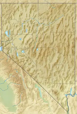
| Copper Mountains | |
|---|---|
.jpg.webp) View of the Copper Mountains from Copper Basin | |
| Highest point | |
| Peak | Copper Mountain |
| Elevation | 3,022 m (9,915 ft) |
| Coordinates | 41°46′17″N 115°31′14″W / 41.77139°N 115.52056°W |
| Geography | |
| Country | United States |
| State | Nevada |
| District | Elko County |
| Range coordinates | 41°46′17″N 115°31′14″W / 41.77139°N 115.52056°W |
| Topo map | USGS Coon Creek |
The Copper Mountains are a mountain range in Elko County, Nevada, United States.[1]
The range is contained mostly within the Mountain City Ranger District of the Humboldt-Toiyabe National Forest, though Coon Creek Peak is within the Jarbidge Ranger District.[2]
Geography
Named peaks include the high point, Copper Mountain, and two lesser peaks, Silver Mountain and Coon Creek Peak.[3] It is considered by some to be a sub-range of the Jarbidge Mountains.
The valley of Coon Creek lies to the north, with Copper Basin to the east, the valley of Copper Creek to the southeast and the Bruneau River valley to the south, southwest and west.[4] The core of the Jarbidge Mountains are located further east and northeast.
References
- 1 2 "Copper Mountains". Geographic Names Information System. United States Geological Survey, United States Department of the Interior. Retrieved 2009-05-04.
- ↑ "Jarbidge Mountains - Peakbagger.com". Retrieved August 10, 2013.
- ↑ "Peakbagger.com - Copper Mountains". Retrieved August 28, 2013.
- ↑ Jarbidge Mts., Nevada–Idaho, 30x60 Minute Topographic Quadrangle, USGS, 1981
Wikimedia Commons has media related to Copper Mountains (Nevada).
This article is issued from Wikipedia. The text is licensed under Creative Commons - Attribution - Sharealike. Additional terms may apply for the media files.
