Dake Subdistrict
大科街道 | |
|---|---|
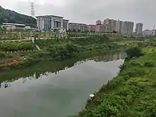
 A road passes across the Park of Sun Stream. | |
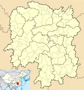
 Dake Subdistrict Location in Hunan. | |
| Coordinates: 27°43′07″N 112°00′19″E / 27.71861°N 112.00528°E | |
| Country | People's Republic of China |
| Province | Hunan |
| Prefecture-level city | Loudi |
| District | Louxing District |
| Area | |
| • Total | 26.7 km2 (10.3 sq mi) |
| Population (2015) | 25,000 |
| Time zone | UTC+8 (China Standard) |
| Postal code | 417000 |
| Area code | 0738 |

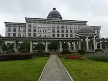
Dake Subdistrict (Chinese: 大科街道; pinyin: Dàkē Jiēdào) is a subdistrict of Louxing District, Loudi, Hunan Province, People's Republic of China. The building of Loudi Municipal Government lies in the subdistrict.[1]
Administrative division
The subdistrict is divided into 5 villages and 10 community, the following areas:
- Dake Community (大科社区)
- Xiaoke Community (小科社区)
- Luojia Community (罗家社区)
- Huangni Community (黄泥社区)
- Jingtou Community (井头社区)
- Dawu Community (大屋社区)
- Nanlong Community (南垅社区)
- Daxin Community (大新社区)
- Zaoyuan Community (早元社区)
- Sanyuan Community (三元社区)
- Shuiyang Village (水洋村)
- Futan Village (福潭村)
- Pingshi Village (坪石村)
- Fangshi Village (方石村)
- Sile Village (思乐村)
Geography

The Sun Stream (孙水), a tributary of Lishui River, flows through the subdistrict.[1]
Economy
The local economy is primarily based upon commerce and local industry.
Transportation
Loudi West railway station and Loudi South Bus station serve the town.[1]
Railway
The Luoyang–Zhanjiang Railway, from Luoyang City, Henan Province to Zhanjiang City, Guangdong Province runs through the subdistrict.[1]
The Shanghai–Kunming railway, more commonly known as "Hukun railway", is a west-east railway passing through the subdistrict.[1]
Attractions
The Park of Sun Stream (孙水公园) is a public park within the subdistrict.[1]