Dale | |
|---|---|
Village | |
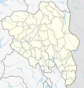 Dale Location of the village 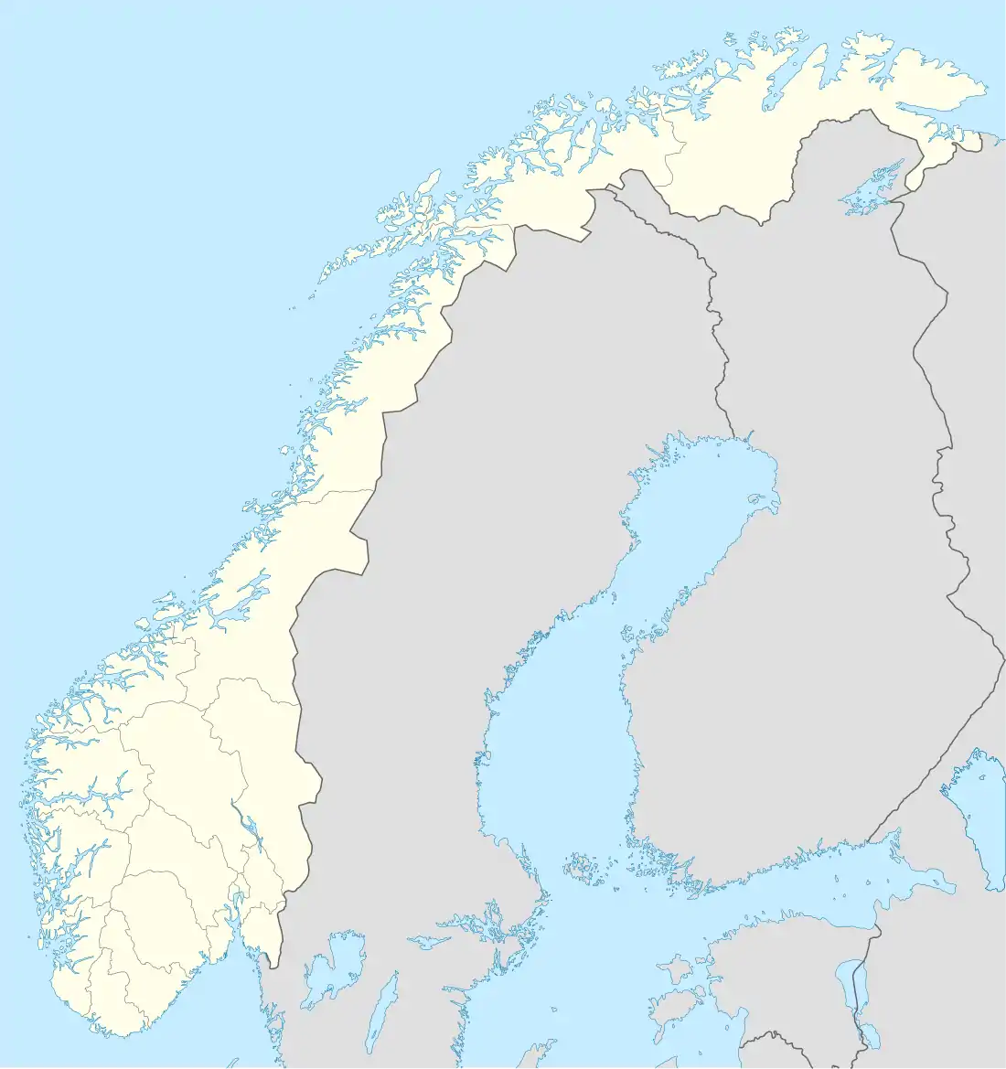 Dale Dale (Norway) | |
| Coordinates: 61°46′31″N 9°29′40″E / 61.77534°N 9.49454°E | |
| Country | Norway |
| Region | Eastern Norway |
| County | Innlandet |
| District | Gudbrandsdalen |
| Municipality | Sel Municipality |
| Area | |
| • Total | 0.58 km2 (0.22 sq mi) |
| Elevation | 328 m (1,076 ft) |
| Population (2020)[1] | |
| • Total | 660 |
| • Density | 1,100/km2 (2,900/sq mi) |
| Time zone | UTC+01:00 (CET) |
| • Summer (DST) | UTC+02:00 (CEST) |
| Post Code | 2670 Otta |
Dale is a village in Sel Municipality in Innlandet county, Norway. The village is located about 3 kilometres (1.9 mi) west of the town of Otta. The village is located along the Otta River. The Norwegian National Road 15 runs through the village.
The 0.58-square-kilometre (140-acre) village had a population (2020) of 660 and a population density of 1,138 inhabitants per square kilometre (2,950/sq mi). Since 2020, the population and area data for this village area has not been separately tracked by Statistics Norway and it has been considered part of the urban area of the town of Otta.[1]
References
- 1 2 3 Statistisk sentralbyrå (3 April 2022). "04859: Area and population of urban settlements (US) 2000 - 2021".
- ↑ "Dale, Sel". yr.no. Retrieved 5 June 2022.
This article is issued from Wikipedia. The text is licensed under Creative Commons - Attribution - Sharealike. Additional terms may apply for the media files.