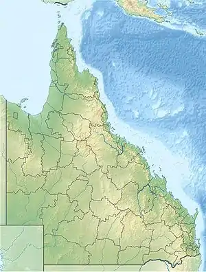
| Dalrymple National Park Queensland | |
|---|---|
 Dalrymple National Park | |
| Coordinates | 19°47′16″S 146°05′58″E / 19.78778°S 146.09944°E |
| Established | 1990 |
| Area | 16.6 km2 (6.4 sq mi) |
| Managing authorities | Queensland Parks and Wildlife Service |
| Website | Dalrymple National Park |
| See also | Protected areas of Queensland |
Dalrymple is a national park in Queensland, Australia, 1108 km northwest of Brisbane.
The park has unique features such as ancient lava flows and the Burdekin River, the largest river in Queensland.[1] This is the land of Gudjal Aboriginal people.[2]
Among the interesting animals can be found here, bridled nailtail wallaby, greater glider and koala.[3]
The elevation of the terrain is 275 metres above sea level.
References
- ↑ Science, jurisdiction=Queensland; sector=government; corporateName=Department of Environment and (20 October 2009). "About | Dalrymple National Park". Parks and forests | Department of Environment and Science, Queensland. Retrieved 13 March 2022.
{{cite web}}: CS1 maint: multiple names: authors list (link) - ↑ Science (20 October 2009). "Dalrymple National Park". Parks and forests | Department of Environment and Science, Queensland. Retrieved 14 March 2022.
- ↑ Science. "Rare or threatened mammals of Dalrymple National Park". wetlandinfo.des.qld.gov.au. Retrieved 14 March 2022.
See also
This article is issued from Wikipedia. The text is licensed under Creative Commons - Attribution - Sharealike. Additional terms may apply for the media files.