Darur | |
|---|---|
Village | |
| Nickname: Darr | |
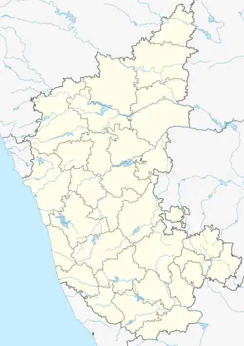
 Darur Location in Karnataka, India Show map of Karnataka Darur Darur (India) Show map of India | |
| Coordinates: 16°43′N 75°04′E / 16.72°N 75.06°E / 16.72; 75.06 | |
| Country | |
| State | Karnataka |
| District | Belgaum |
| Founded by | Durga Munil |
| Talukas | Athani |
| Government | |
| • Type | Decentralised |
| • Body | Grama Panchayat |
| Area | |
| • Total | 04 km2 (2 sq mi) |
| Population (2001) | |
| • Total | 5,244 |
| • Density | 1,300/km2 (3,400/sq mi) |
| Languages | |
| • Official | Kannada |
| Time zone | UTC+5:30 (IST) |
Darur is a village in the southern state of Karnataka, India.[1][2] It is located in the Athani Taluk of Belagavi district in Karnataka.
Demographics
As of 2001 India census, Darur had a population of 5,244 with 2,669 males and 2,575 females. The village is well known by Krishna River and its flood prone area, historically this is famous for agriculture and animal husbandry.
Agriculture
Agriculture is the main source of economy. Now the village is known for commercial crops such as, sugar cane, cotton, sunflower, and traditional crops like maize, soybean, rice, and wheat.[3]
See also
References
- ↑ Village code= 19400 "Census of India : Villages with population 5000 & above". Registrar General & Census Commissioner, India. Archived from the original on 8 December 2008. Retrieved 18 December 2008.
- ↑ "Yahoomaps India : Darur, Belgaum, Karnataka". Retrieved 18 December 2008.
- ↑ Volume No.. 3 (2013), Issue No. 08 (August), ISSN 2231-5756. International Journal of Research in Commerce, IT & Management
External links
This article is issued from Wikipedia. The text is licensed under Creative Commons - Attribution - Sharealike. Additional terms may apply for the media files.