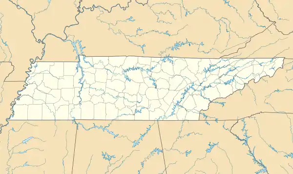
Dellrose, Tennessee | |
|---|---|
 Dellrose  Dellrose | |
| Coordinates: 35°06′47″N 86°48′05″W / 35.11306°N 86.80139°W | |
| Country | United States |
| State | Tennessee |
| County | Lincoln |
| Area | |
| • Total | 2.26 sq mi (5.86 km2) |
| • Land | 2.26 sq mi (5.86 km2) |
| • Water | 0.00 sq mi (0.00 km2) |
| Elevation | 673 ft (205 m) |
| Population | |
| • Total | 73 |
| • Density | 32.24/sq mi (12.45/km2) |
| Time zone | UTC-6 (Central (CST)) |
| • Summer (DST) | UTC-5 (CDT) |
| ZIP code | 38453 |
| Area code | 931 |
| GNIS feature ID | 1306325[3] |
Dellrose is an unincorporated community in Lincoln County, Tennessee, United States.[3] It has a post office, with ZIP code 38453. It is located along Tennessee State Route 273 between Elkton and Fayetteville.[4]
Demographics
| Census | Pop. | Note | %± |
|---|---|---|---|
| 2020 | 73 | — | |
| U.S. Decennial Census[5] | |||
History
Originally known as "Roosterville", Dellrose was first formed as a village in 1867, although a post office had been present in the area since 1849. By 1886, it was home to several churches as well as a school, blacksmith, and physician.[6]
Notes
- ↑ "ArcGIS REST Services Directory". United States Census Bureau. Retrieved October 15, 2022.
- ↑ "Census Population API". United States Census Bureau. Retrieved October 15, 2022.
- 1 2 "Dellrose, Tennessee". Geographic Names Information System. United States Geological Survey, United States Department of the Interior.
- ↑ United States Postal Service (2012). "USPS - Look Up a ZIP Code". Retrieved February 15, 2012.
- ↑ "Census of Population and Housing". Census.gov. Retrieved June 4, 2016.
- ↑ History of Tennessee from the Earliest Time to the Present. Goodspeed Publishing. 1886. ISBN 0-89308-118-3.
This article is issued from Wikipedia. The text is licensed under Creative Commons - Attribution - Sharealike. Additional terms may apply for the media files.