Deori | |
|---|---|
City | |
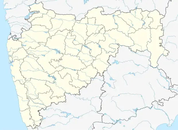 Deori Location in Maharashtra, India | |
| Coordinates: 21°04′N 80°22′E / 21.067°N 80.367°E | |
| Country | |
| State | Maharashtra |
| District | Gondia |
| Government | |
| • Type | Municipal Council |
| • Body | Deori Municipal Council |
| Area | |
| • Total | 7 km2 (3 sq mi) |
| • Rank | 5th in gondia district |
| Elevation | 340 m (1,120 ft) |
| Population (2011) | |
| • Total | 14,579[1] |
| • Rank | 4th in Gondia |
| Languages | |
| • Official | Marathi |
| Time zone | UTC+5:30 (IST) |
| Vehicle registration | MH-35 |
*Deori is a Large Village and a municipal council in Gondia district in the state of Maharashtra, India.
Demographics
As per Indian government census of 2011, the population was 14579.[1]
| Year | Male | Female | Total Population | Change | Religion (%) | |||||||
|---|---|---|---|---|---|---|---|---|---|---|---|---|
| Hindu | Muslim | Christian | Sikhs | Buddhist | Jain | Other religions and persuasions | Religion not stated | |||||
| 2011[1] | 7394 | 7185 | 14579 | - | 76.096 | 7.922 | 0.240 | 1.989 | 12.299 | 0.583 | 0.370 | 0.501 |
Geography
Deori is located at 21°04′N 80°22′E / 21.067°N 80.367°E.[2] It has an average elevation of 340 metres (1118 feet).
It is located at the Maharashtra-Chhattisgarh border on Hajira-Kolkata National Highway 6.
References
Places adjacent to Deori, Gondia | ||||||||||||||||
|---|---|---|---|---|---|---|---|---|---|---|---|---|---|---|---|---|
| ||||||||||||||||
This article is issued from Wikipedia. The text is licensed under Creative Commons - Attribution - Sharealike. Additional terms may apply for the media files.