Dhumakot | |
|---|---|
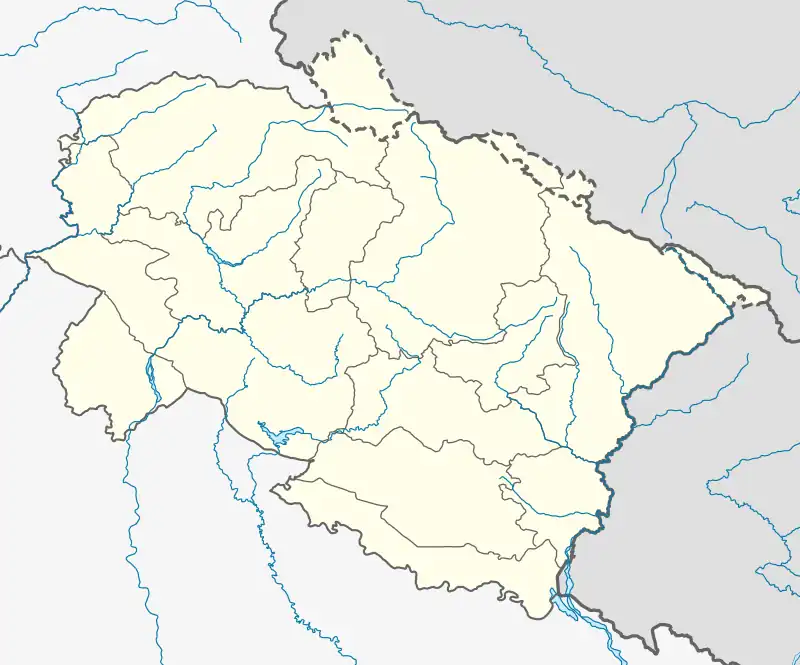
 Dhumakot Location in Uttarakhand, India | |
| Coordinates: 29°45′11″N 79°00′36″E / 29.753°N 79.010°E | |
| Country | India |
| State | Uttarakhand |
| District | Pauri Garhwal |
| Languages | |
| • Official | Garhwali, Hindi |
| Time zone | UTC+5:30 |
| PIN | 246275 |
| Vehicle registration | UK-12 |
| Website | pauri |
Dhumakot is a tehsil, or administrative division, located in the Pauri Garhwal district of the Indian state of Uttarakhand.[1] It is bordered by the tehsils of Lansdowne, Kotdwar, Thalisain and Bironkhal. It is also bordered by the districts Almora and Nainital of Kumaun.[2]
The tehsil is divided into several revenue villages, and the main languages spoken in the tehsil are Hindi and Garhwali. Previously, it was an assembly constituency[3] but the seat was abolished in 2012 after delimitation. The area is now part of Lansdowne seat and in Lok Sabha it is part of Garhwal seat.[4]
The economy of Dhumakot is largely dependent on agriculture, with rice, and wheat being the main crops. The tehsil is also home to a number of small-scale industries, including handlooms, handicrafts, and forestry. There is a Government Degree College in the area.[5]
References
- ↑ "Tehsil | District Pauri Garhwal, Government of Uttarakhand | India". Pauri.nic.in. 2022-12-27. Retrieved 2022-12-31.
- ↑ "Pauri Garhwal Map". November 22, 2019.
- ↑ "Dhumakot Bye-Election: Chief Electoral Officer , Uttarakhand, India". Ceo.uk.gov.in. 2011-04-29. Retrieved 2022-12-31.
- ↑ https://election.uk.gov.in/pdf_roll/PollingStation/PS-2020/40.pdf
- ↑ "Government Degree College Nainidanda, Pauri Garhwal, Uttarkhand". gdcnainidanda.ac.in.