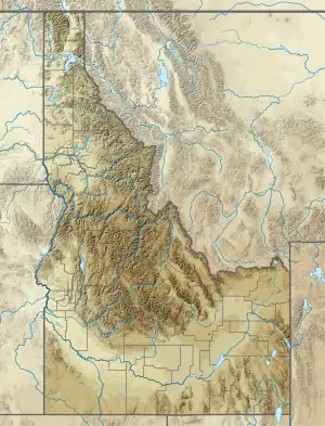
| Dickey Peak | |
|---|---|
 Dickey Peak | |
| Highest point | |
| Elevation | 3,397.3 m (11,146 ft) |
| Prominence | 860 m (2,820 ft) |
| Parent peak | Doublespring Peak[1] |
| Isolation | 7.22 km (4.49 mi) |
| Coordinates | 44°13′45″N 113°53′00″W / 44.2293°N 113.8833°W |
| Geography | |
| Location | Custer County, Idaho |
| Parent range | Lost River Range |
Dickey Peak is a mountain in Custer County, Idaho. At 3397m, it's the 14th highest peak in Idaho that has at least 500m of topographic prominence.[2][3][4]
References
- ↑ "Dickey Peak - 11,141' ID". listsofjohn.com. Retrieved 2022-09-03.
- ↑ "Dickey Peak". NGS Data Sheet. Retrieved 2018-06-10.
- ↑ "GNIS Detail - Dickey Peak". geonames.usgs.gov. Retrieved 2018-06-10.
- ↑ "Dickey Peak - Peakbagger.com". www.peakbagger.com. Retrieved 2018-06-10.
This article is issued from Wikipedia. The text is licensed under Creative Commons - Attribution - Sharealike. Additional terms may apply for the media files.