Disenå | |
|---|---|
Village | |
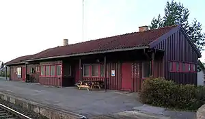 View of the village railway station | |
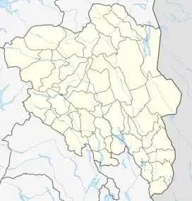 Disenå Location of the village 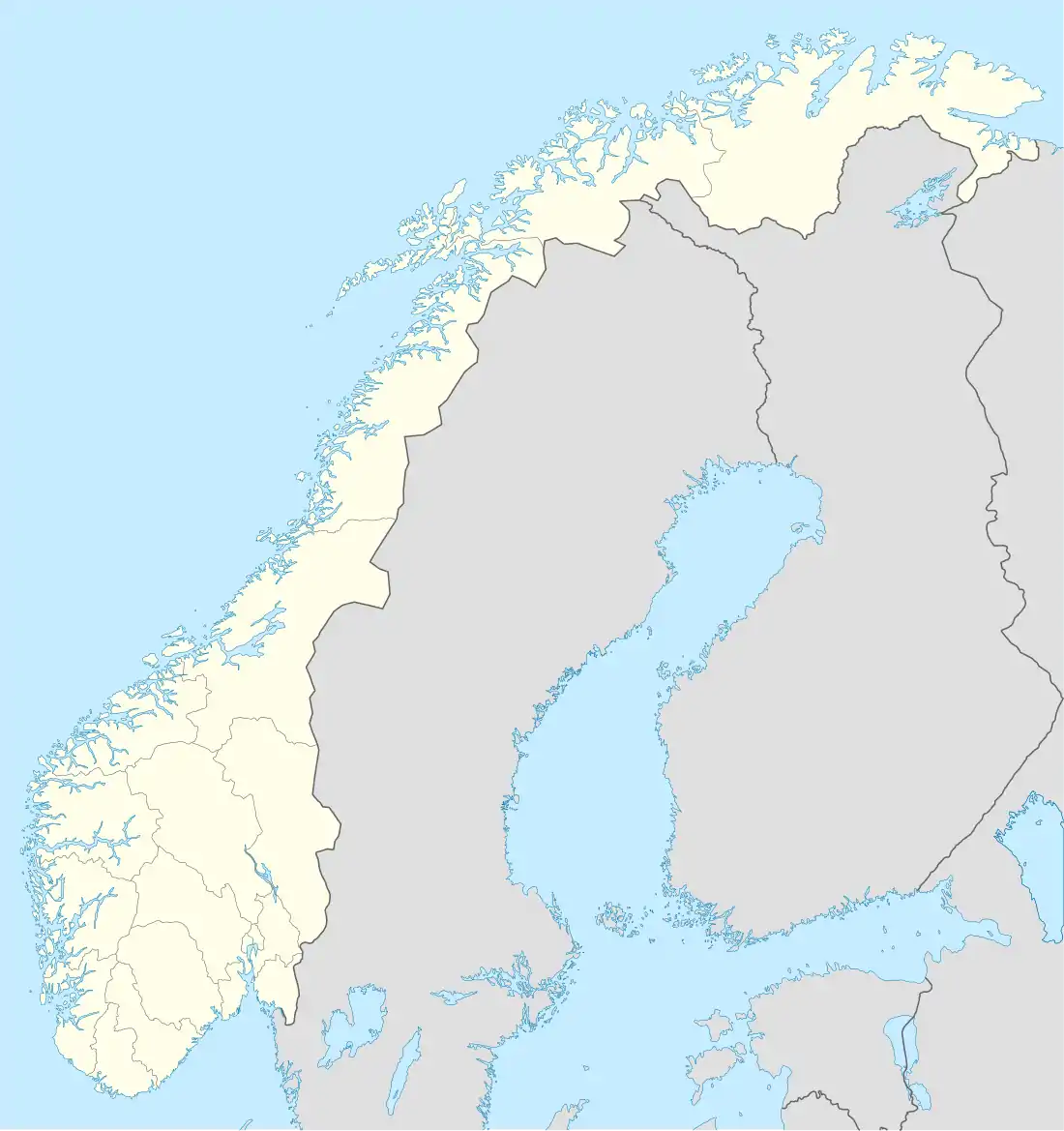 Disenå Disenå (Norway) | |
| Coordinates: 60°12′24″N 11°38′30″E / 60.20659°N 11.64156°E | |
| Country | Norway |
| Region | Eastern Norway |
| County | Innlandet |
| District | Odalen |
| Municipality | Sør-Odal Municipality |
| Area | |
| • Total | 0.52 km2 (0.20 sq mi) |
| Elevation | 136 m (446 ft) |
| Population (2021)[1] | |
| • Total | 263 |
| • Density | 504/km2 (1,310/sq mi) |
| Time zone | UTC+01:00 (CET) |
| • Summer (DST) | UTC+02:00 (CEST) |
| Post Code | 2114 Disenå |
Disenå is a village in Sør-Odal Municipality in Innlandet county, Norway. The main part of the village is located south of the river Glomma, about 5 kilometres (3.1 mi) southwest of the village of Skarnes. The Kongsvingerbanen railway line passes through the village. The Disenå Station on the railway was closed in 2012.[3][4]
The 0.52-square-kilometre (130-acre) village has a population (2021) of 263 and a population density of 504 inhabitants per square kilometre (1,310/sq mi).[1]
Every August the Audunbakkenfestivalen is held.
References
- 1 2 3 Statistisk sentralbyrå (1 January 2021). "Urban settlements. Population and area, by municipality".
- ↑ "Disenå, Sør-Odal". yr.no. Retrieved 20 March 2022.
- ↑ "Disenå stasjon". Norwegian National Rail Administration. Archived from the original on 19 December 2007.
- ↑ Mæhlum, Lars, ed. (1 November 2021). "Disenå". Store norske leksikon (in Norwegian). Kunnskapsforlaget. Retrieved 20 March 2022.
This article is issued from Wikipedia. The text is licensed under Creative Commons - Attribution - Sharealike. Additional terms may apply for the media files.