| Dodge Brook State Forest | |
|---|---|
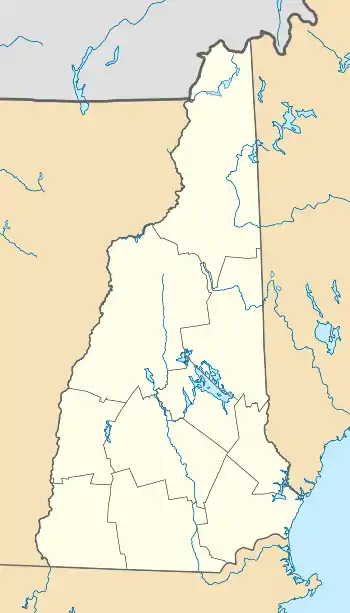
 Location in New Hampshire  Location in United States | |
| Location | Sullivan County, New Hampshire |
| Nearest city | Lempster, New Hampshire |
| Coordinates | 43°11′28″N 72°11′51″W / 43.19111°N 72.19750°W |
| Area | 226 acres (91 ha) |
| Established | 1919 |
| Governing body | New Hampshire Department of Natural and Cultural Resources |
Dodge Brook State Forest is a protected area in the town of Lempster, New Hampshire.[1] It was purchased by the state in 1919 for reforestation. It is located on both sides of New Hampshire Route 10 with a larger parcel on the east side. The west parcel abuts Dodge Brook and has been home to stands of larch. The area was logged for spruce a couple years before it was originally purchased.[2]
See also
References
External links
- U.S. Geological Survey Map at the U.S. Geological Survey Map Website. Retrieved January 5th, 2022.
This article is issued from Wikipedia. The text is licensed under Creative Commons - Attribution - Sharealike. Additional terms may apply for the media files.