Dolní Lhota | |
|---|---|
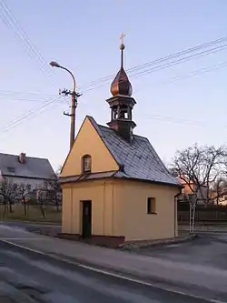 Chapel of Saints Cyril and Methodius | |
 Flag  Coat of arms | |
 Dolní Lhota Location in the Czech Republic | |
| Coordinates: 49°50′32″N 18°5′33″E / 49.84222°N 18.09250°E | |
| Country | |
| Region | Moravian-Silesian |
| District | Ostrava-City |
| First mentioned | 1486 |
| Area | |
| • Total | 5.36 km2 (2.07 sq mi) |
| Elevation | 292 m (958 ft) |
| Population (2023-01-01)[1] | |
| • Total | 1,497 |
| • Density | 280/km2 (720/sq mi) |
| Time zone | UTC+1 (CET) |
| • Summer (DST) | UTC+2 (CEST) |
| Postal code | 747 66 |
| Website | www |
Dolní Lhota (German: Klein Ellgoth) is a municipality and village in Ostrava-City District in the Moravian-Silesian Region of the Czech Republic. It has about 1,500 inhabitants.
Transport
Trams from Ostrava run to Dolní Lhota. There are three tram stops: U Obory, Dolní Lhota and Dolní Lhota osada, and three bus stops.
References
Wikimedia Commons has media related to Dolní Lhota (Ostrava-City District).
This article is issued from Wikipedia. The text is licensed under Creative Commons - Attribution - Sharealike. Additional terms may apply for the media files.