| Dourdou de Camarès | |
|---|---|
 The Dourdou at Brusque | |
  | |
| Location | |
| Country | France |
| Region | Occitanie |
| Physical characteristics | |
| Source | |
| • location | in Murat-sur-Vèbre |
| • coordinates | 43°39′19″N 02°54′30″E / 43.65528°N 2.90833°E |
| • elevation | 1,079 m (3,540 ft) |
| Mouth | |
• location | Tarn |
• coordinates | 43°59′47″N 02°41′05″E / 43.99639°N 2.68472°E |
• elevation | 245 m (804 ft) |
| Length | 86.8 km (53.9 mi) |
| Basin size | 658 km2 (254 sq mi) |
| Discharge | |
| • average | 12.1 m3/s (430 cu ft/s) |
| Basin features | |
| Progression | Tarn→ Garonne→ Gironde estuary→ Atlantic Ocean |
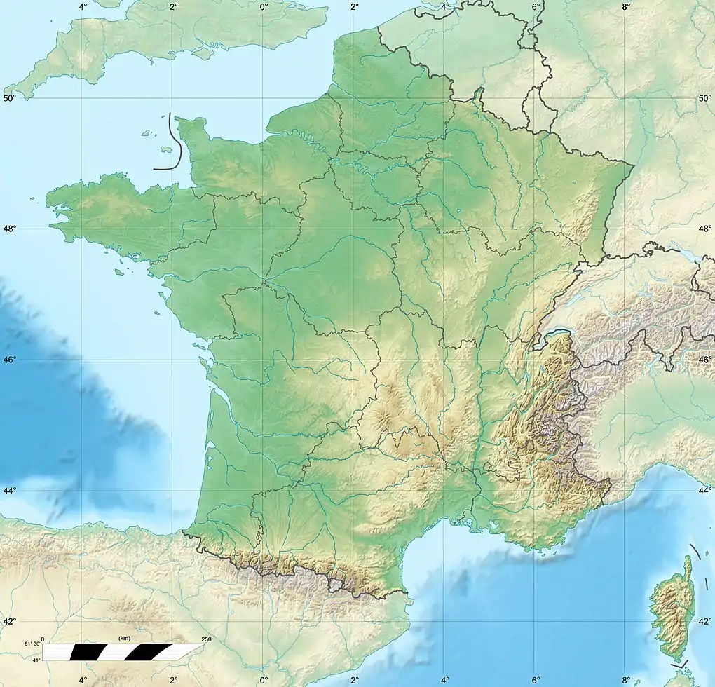
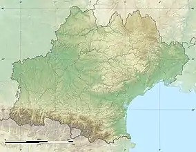
The Dourdou de Camarès (French pronunciation: [duʁdu də kamaʁɛs], literally Dourdou of Camarès; Occitan: Dordon de Camarés) is an 86.8 km (53.9 mi) long river in the Tarn, Hérault and Aveyron departments in southern France.[1] Its source is in the Parc naturel régional du Haut-Languedoc, in the commune of Murat-sur-Vèbre, 5.5 km (3.4 mi) southeast of the village. It flows generally northwest. It is a left tributary of the Tarn into which it flows at Broquiès, 1.2 km (0.75 mi) southwest of the village.
Its main tributary is the Sorgues.
Departments and communes along its course
The following list is ordered from source to mouth :
- Tarn: Murat-sur-Vèbre
- Hérault: Castanet-le-Haut
- Aveyron: Arnac-sur-Dourdou, Brusque, Fayet, Sylvanès, Camarès, Montlaur, Vabres-l'Abbaye, Saint-Affrique, Calmels-et-le-Viala, Saint-Izaire, Broquiès
References
Wikimedia Commons has media related to Dourdou de Camarès.
This article is issued from Wikipedia. The text is licensed under Creative Commons - Attribution - Sharealike. Additional terms may apply for the media files.