Dunstan, Maine | |
|---|---|
 Soldiers' and Sailors' Monument | |
 Dunstan  Dunstan | |
| Coordinates: 43°34′14″N 70°23′15″W / 43.57056°N 70.38750°W | |
| Country | |
| State | Maine |
| County | Cumberland |
| Town | Scarborough |
| Area | |
| • Total | 3.19 sq mi (8.26 km2) |
| • Land | 3.16 sq mi (8.19 km2) |
| • Water | 0.03 sq mi (0.07 km2) |
| Elevation | 60 ft (20 m) |
| Population (2020) | |
| • Total | 2,083 |
| • Density | 658.76/sq mi (254.39/km2) |
| Time zone | UTC-5 (Eastern (EST)) |
| • Summer (DST) | UTC-4 (EDT) |
| ZIP Code | 04074 (Scarborough) |
| Area code | 207 |
| FIPS code | 23-18965 |
| GNIS feature ID | 2806277[2] |
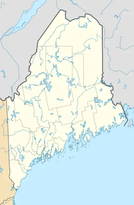
Dunstan is a census-designated place (CDP) in the town of Scarborough, Cumberland County, Maine, United States. Also known as West Scarborough,[3] the community is in the southwest part of the town, along U.S. Route 1. Maine State Route 9 runs northward from Dunstan with US 1 towards Portland but leads southeastward out of the community as Pine Point Road, towards Old Orchard Beach. Interstate 95 (the Maine Turnpike) forms the northwestern edge of the CDP, and the York County line is the southwestern border, with the city of Saco directly adjacent to Dunstan. The northeast edge of the CDP is the Dunstan River, an arm of the tidal Scarborough River.
Dunstan was first listed as a CDP prior to the 2020 census.[2]
Demographics
| Census | Pop. | Note | %± |
|---|---|---|---|
| 2020 | 2,083 | — | |
| U.S. Decennial Census[4] | |||
References
- ↑ "2020 U.S. Gazetteer Files". United States Census Bureau. Retrieved April 8, 2022.
- 1 2 3 "Dunstan Census Designated Place". Geographic Names Information System. United States Geological Survey, United States Department of the Interior.
- ↑ "West Scarborough". Geographic Names Information System. United States Geological Survey, United States Department of the Interior.
- ↑ "Census of Population and Housing". Census.gov. Retrieved June 4, 2016.
This article is issued from Wikipedia. The text is licensed under Creative Commons - Attribution - Sharealike. Additional terms may apply for the media files.
