| Eagle Peak | |
|---|---|
 Eagle Peak | |
| Highest point | |
| Elevation | 9,801 ft (2,987 m) NAVD 88[1] |
| Prominence | 2,266 ft (691 m)[2] |
| Coordinates | 33°40′37″N 108°34′37″W / 33.676918003°N 108.576982264°W[1] |
| Geography | |
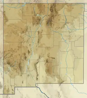
| Location | Catron County, New Mexico, U.S. |
| Parent range | Tularosa Mountains |
| Topo map | USGS Eagle Peak |
Eagle Peak is a mountain in Catron County, New Mexico, near the town of Reserve.[3] The summit is the highest point in the Tularosa Mountains.[4]
References
- 1 2 "Eagle Peak ET". NGS Data Sheet. National Geodetic Survey, National Oceanic and Atmospheric Administration, United States Department of Commerce. Retrieved 2011-05-14.
- ↑ "Eagle Peak, New Mexico". Peakbagger.com. Retrieved 2011-05-14.
- ↑ Survey, United States Coast and Geodetic Survey; Culley, Frank Lambuth (1940). Triangulation in New Mexico: 1927 Datum. U.S. Government Printing Office.
- ↑ Office, United States Bureau of Land Management New Mexico State (1986). New Mexico Statewide Wilderness Study: Appendices, wilderness analysis reports (Las Cruces District). U.S. Department of the Interior, Bureau of Land Management, New Mexico State Office.
External links
- "Tularosa Mountains". SummitPost.org. Retrieved 2011-05-14.
This article is issued from Wikipedia. The text is licensed under Creative Commons - Attribution - Sharealike. Additional terms may apply for the media files.